Mechi River
| Mechi River | |
 | |
| Countries | Nepal, India |
|---|---|
| Source | Mahabharat Lekh |
| Mouth | Mahananda River |
| - coordinates | 26°13′46″N 87°57′05″E / 26.22944°N 87.95139°ECoordinates: 26°13′46″N 87°57′05″E / 26.22944°N 87.95139°E |
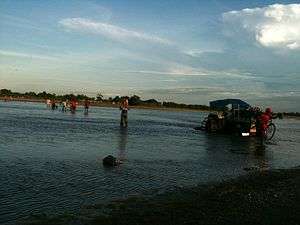
The Mechi River is a trans-boundary river flowing through Nepal and India. It is a tributary of the Mahananda River.
Course
The Mechi originates in the Mahabharat Range in Nepal. It flows through Nepal, forms the boundary between India and Nepal and then flows through the Indian state of Bihar to join the Mahananda in Kishanganj district.[1][2]
The Mechi-Mahananda interfluve is a transitional area between the hills and the plains and exhibits a wide range of topographical variations. The rivers originating in the hills attain a braiding character and have well developed alluvial fans.[3]
The Mahananda river system of which Mechi is a part has a catchment area of 8,088 square kilometres (3,123 sq mi) in Nepal and 11,520 square kilometres (4,450 sq mi) in India.[4]
Embankments
Embankments exist of the left bank of the Mechi River for 14 kilometres (9 mi) in West Bengal. These need remodelling to prevent floods in the Naxalbari area of Darjeeling district.[4] There also is a need for new embankments. As the Mechi forms the international border, it was agreed at a meeting of the Nepal-India Joint Standing Technical Committee to take due care in aligning the embankments so that they would be at identified distance from the border and the top levels of the embankments should be kept same on both sides, as far as practicable.[5]
River link ing
There is a proposal to link the Mechi to the Kosi. Kosi–Mechi interlinking is part of a NPR 56000 billion River Interlinking Project proposed to Nepal by India. The Kankai forms part of this project. Besides the High Dam, a barrage across Kosi river will also be constructed near village Chatra, 10 to 12 kilometres (6 to 7 mi) below the proposed Kosi High Dam, to transfer water to the Mechi through the Kosi–Mechi link canal.[4][6]
References
- ↑ "Five Themes of Geography" (PDF). Rivers. Archived from the original (PDF) on 2011-07-18. Retrieved 2010-05-22.
- ↑ "Kishanganj district". Kishanganj district administration. Archived from the original on 2010-04-08. Retrieved 2010-05-22.
- ↑ M.M.Jana and M. Dutta. "Groundwater study in the Piedmont zone of Mechi Mahananda interfluve in Darjiling district, West Bengal using remote sensing techniques". Springerlink. Retrieved 2010-05-18.
- 1 2 3 Dwarika N. Dhungel, Santa B. Pun. "The Nepal-India Water Relationship: Challenges". google books. Retrieved 2010-05-18.
- ↑ "Minutes of the Second Meeting of Nepal-India Joint Standing Technical Committee (JSTC) held on 30-31 March 2010 at Kathmandu" (PDF). Retrieved 2010-05-18.
- ↑ "Inter linking of rivers". Archived from the original on 2011-07-21. Retrieved 2010-05-18.