Masonville, New Jersey
| Masonville, New Jersey | |
|---|---|
| Unincorporated community | |
 | |
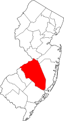
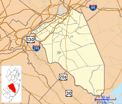 Masonville Location in Burlington County (Inset: Burlington County in New Jersey)  Masonville Masonville (New Jersey)  Masonville Masonville (the US) | |
| Coordinates: 39°58′42″N 74°52′13″W / 39.97833°N 74.87028°WCoordinates: 39°58′42″N 74°52′13″W / 39.97833°N 74.87028°W | |
| Country |
|
| State |
|
| County | Burlington |
| Township | Mount Laurel |
| Elevation | 46 ft (14 m) |
| ZIP code | 08054[1] |
| GNIS feature ID | 0878179[2] |
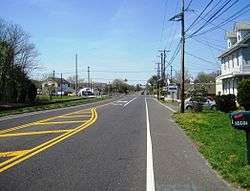
Masonville is an unincorporated community located within Mount Laurel Township, Burlington County, New Jersey, United States.[3] Located east of Moorestown, the community of Masonville was developed when a highway was built in 1794.[4] Major roads in Masonville include County Route 537 and Route 38.
Masonville once had a post office with ZIP Code 08054. It was eventually replaced by the Mount Laurel post office, which was assigned the same ZIP Code and designed to serve a larger area.
Transportation
New Jersey Transit provides bus service to and from Philadelphia on the 413 route.[5]
References
- ↑ Look Up a ZIP Code for Masonville, NJ, United States Postal Service. Accessed June 18, 2013.
- ↑ "Masonville". Geographic Names Information System. United States Geological Survey. Retrieved 2012-10-08.
- ↑ Locality Search, State of New Jersey. Accessed June 9, 2016.
- ↑ "Township History - 19th Century Mount Laurel". Mount Laurel Township website. Archived from the original on May 6, 2011. Retrieved September 15, 2011.
- ↑ Burlington County Bus / Rail Connections, New Jersey Transit, backed up by the Internet Archive as of June 26, 2010. Accessed June 18, 2013.
External links
This article is issued from
Wikipedia.
The text is licensed under Creative Commons - Attribution - Sharealike.
Additional terms may apply for the media files.