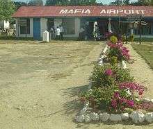
Mafia Airport
| Mafia Airport Uwanja wa Ndege wa Mafia (Swahili) | |||||||||||
|---|---|---|---|---|---|---|---|---|---|---|---|
 | |||||||||||
| Summary | |||||||||||
| Airport type | Public | ||||||||||
| Owner | Government of Tanzania | ||||||||||
| Operator | Tanzania Airports Authority | ||||||||||
| Serves | Kilindoni | ||||||||||
| Location | Mafia Island, Tanzania | ||||||||||
| Elevation AMSL | 79 ft / 24 m | ||||||||||
| Coordinates | 7°54′50″S 39°40′00″E / 7.91389°S 39.66667°ECoordinates: 7°54′50″S 39°40′00″E / 7.91389°S 39.66667°E | ||||||||||
| Website |
www | ||||||||||
| Map | |||||||||||
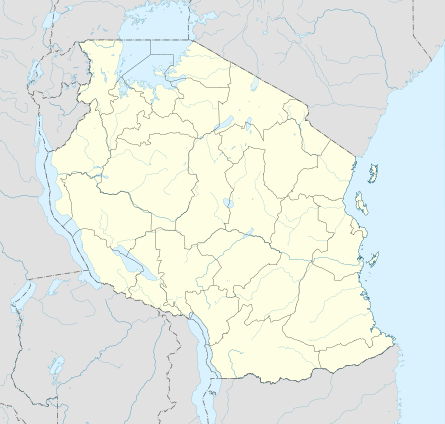 MFA Location of airport in Tanzania | |||||||||||
| Runways | |||||||||||
| |||||||||||
| Statistics (2009) | |||||||||||
| |||||||||||
Mafia Airport (IATA: MFA, ICAO: HTMA) is an airport on Mafia Island in the Pwani Region of Tanzania. The island is in the Indian Ocean, 17 kilometres (11 mi) off the Tanzanian coast.
In 2013 the landing strip at Mafia Airport was rehabilitated using grant funds provided by the United States government through the Millennium Challenge Corporation.
The Mafia non-directional beacon (Ident: MF) is located on the field.[4][5]
Airlines and destinations
| Airlines | Destinations |
|---|---|
| Coastal Aviation | Dar es Salaam, Pemba, Selous, Tanga, Zanzibar[6] |
| Tropical Air | Dar es Salaam |
See also


- List of airports in Tanzania
- Transport in Tanzania
References
- ↑ "List of Aerodromes in Tanzania" (PDF). Tanzania Civil Aviation Authority. Retrieved 5 April 2013.
- ↑ Airport information for MFA at Great Circle Mapper.
- ↑ Google Maps - Mafia
- ↑ "SkyVector: Flight Planning / Aeronautical Charts". skyvector.com. Retrieved 2018-08-28.
- ↑ "Mafia NDB (MF) @ OurAirports". ourairports.com. Retrieved 2018-08-28.
- ↑ "Flight Schedule" (PDF). Coastal Aviation. 15 June 2015. Retrieved 14 November 2015.
External links
| Wikimedia Commons has media related to Mafia Airport. |
- Tanzania Airports Authority
- OurAirports - Mafia Island
- OpenStreetMap - Mafia Island
- Accident history for MFA at Aviation Safety Network
This article is issued from
Wikipedia.
The text is licensed under Creative Commons - Attribution - Sharealike.
Additional terms may apply for the media files.