Shinyanga Airport
| Shinyanga Airport Ibadakuli Airport Uwanja wa Ndege wa Shinyanga (Swahili) | |||||||||||
|---|---|---|---|---|---|---|---|---|---|---|---|
 The Shinyanga Airport. | |||||||||||
| Summary | |||||||||||
| Airport type | Public | ||||||||||
| Operator | Tanzania Airports Authority | ||||||||||
| Serves | Shinyanga, Tanzania | ||||||||||
| Location | Ibadakuli | ||||||||||
| Elevation AMSL | 3,800 ft / 1,158 m | ||||||||||
| Coordinates | 3°36′35″S 33°30′15″E / 3.60972°S 33.50417°ECoordinates: 3°36′35″S 33°30′15″E / 3.60972°S 33.50417°E | ||||||||||
| Website |
www | ||||||||||
| Map | |||||||||||
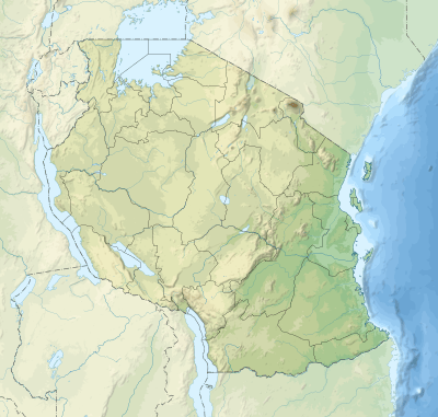 SHY Location of Shinyanga airport | |||||||||||
| Runways | |||||||||||
| |||||||||||
| Statistics | |||||||||||
| |||||||||||
Shinyanga Airport (IATA: SHY, ICAO: HTSY) is an airport serving Shinyanga, the capital of the Shinyanga Region of Tanzania. It is 10 kilometres (6.2 mi) northeast of the municipality, off the B6 road. The airport is also known as Ibadakuli Airport.
The Mwadui non-directional beacon (Ident: WM) is located 9.2 nautical miles (17.0 km) northeast of the airport.[4]
See also


- List of airports in Tanzania
- Transport in Tanzania
References
- ↑ "List of Aerodromes in Tanzania" (PDF). Tanzania Civil Aviation Authority. Retrieved 4 April 2013.
- ↑ Airport information for SHY at Great Circle Mapper.
- ↑ Google Maps - Shinyanga
- ↑ "Mwadui NDB". SkyVector Aeronautical Charts. SkyVector. Retrieved 23 July 2018.
External links
- OurAirports – Shinyanga
- SkyVector - Shinyanga/Ibadakuli Airport
- OpenStreetMaps – Shinyanga
- Accident history for Shinyanga Airport at Aviation Safety Network
This article is issued from
Wikipedia.
The text is licensed under Creative Commons - Attribution - Sharealike.
Additional terms may apply for the media files.