Iringa Airport
| Iringa / Nduli Airport Uwanja wa Ndege wa Iringa / Nduli (Swahili) | |||||||||||
|---|---|---|---|---|---|---|---|---|---|---|---|
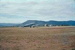 Aerodrome in 1960s | |||||||||||
| Summary | |||||||||||
| Airport type | Public | ||||||||||
| Owner | Government of Tanzania | ||||||||||
| Operator | Tanzania Airports Authority | ||||||||||
| Serves | Iringa | ||||||||||
| Location | Nduli, Tanzania | ||||||||||
| Elevation AMSL | 4,678 ft / 1,426 m | ||||||||||
| Coordinates | 7°40′10″S 35°45′05″E / 7.66944°S 35.75139°ECoordinates: 7°40′10″S 35°45′05″E / 7.66944°S 35.75139°E | ||||||||||
| Website |
www | ||||||||||
| Map | |||||||||||
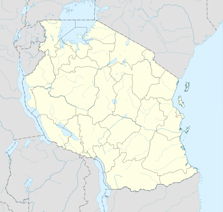 IRI Location of airport in Tanzania | |||||||||||
| Runways | |||||||||||
| |||||||||||
Iringa Airport (IATA: IRI, ICAO: HTIR) is an airport in Tanzania serving Iringa and the surrounding Iringa Region. It is 13 kilometres (8.1 mi) northeast of the municipality. The airport's single runway lies parallel to the A104 trunk road.
Airlines and destinations
| Airlines | Destinations |
|---|---|
| Auric Air | Dar es Salaam |
See also


- List of airports in Tanzania
- Transport in Tanzania
References
- ↑ "List of Aerodromes in Tanzania" (PDF). Tanzania Civil Aviation Authority. Retrieved 5 April 2013.
- ↑ Airport information for IRI at Great Circle Mapper.
- ↑ Google Maps - Iringa
External links
| Wikimedia Commons has media related to Iringa Airport. |
This article is issued from
Wikipedia.
The text is licensed under Creative Commons - Attribution - Sharealike.
Additional terms may apply for the media files.