Lib Island
 Lib Island | |
| Geography | |
|---|---|
| Location | North Pacific |
| Coordinates | 8°19′N 167°25′E / 8.317°N 167.417°E |
| Archipelago | Ralik |
| Total islands | 1 |
| Area | 0.93 km2 (0.36 sq mi) |
| Highest elevation | 3 m (10 ft) |
| Administration | |
| Demographics | |
| Population | 115 (1998) |
| Ethnic groups | Marshallese |
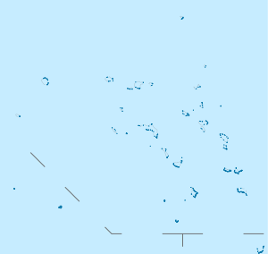
Lib Island (Marshallese: Ellep, [ɛ̯ɛlʲːɛpʲ][1]) is an island in the Pacific Ocean. It is a legislative district of the Ralik Chain of the Marshall Islands. Its total land area is 0.93 km2. (0.36 sq. miles). The population of Lib Island is 115.
History
The first recorded sighting by Europeans of Lib Island happened on 8 January 1565 by Spanish navigator Alonso de Arellano commanding patache San Lucas. It was charted by Arellano as Los Nadadores ("The Swimmers" in Spanish). In his account of the sighting, Arellano stated that the inhabitants of Lib would be fine for pulling an oar in a galley, being big and well made, and were a warlike people, being expert in throwing stones with slings. He also expressed an opinion that they must be of the Devil because their island was a thousand leagues from firm land.[2]
Education
Marshall Islands Public School System operates Lib Elementary School.[3]
References
- ↑ Marshallese-English Dictionary - Place Name Index
- ↑ Sharp, Andrew The discovery of the Pacific Islands Oxford, 1960, p.34
- ↑ "Public Schools ." Marshall Islands Public School System. Retrieved on February 21, 2018.