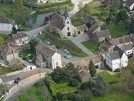
La Chapelle-Rablais
| La Chapelle-Rablais | |
|---|---|
| Commune | |
 | |
 La Chapelle-Rablais Location within Île-de-France region  La Chapelle-Rablais | |
| Coordinates: 48°30′43″N 2°58′21″E / 48.5119°N 2.9725°ECoordinates: 48°30′43″N 2°58′21″E / 48.5119°N 2.9725°E | |
| Country | France |
| Region | Île-de-France |
| Department | Seine-et-Marne |
| Arrondissement | Provins |
| Canton | Nangis |
| Intercommunality | CC Brie Nangissienne |
| Government | |
| • Mayor (2008–2014) | Daniel Deswarte |
| Area1 | 15.44 km2 (5.96 sq mi) |
| Population (2006)2 | 904 |
| • Density | 59/km2 (150/sq mi) |
| Time zone | UTC+1 (CET) |
| • Summer (DST) | UTC+2 (CEST) |
| INSEE/Postal code | 77089 /77370 |
| Elevation | 104–136 m (341–446 ft) |
|
1 French Land Register data, which excludes lakes, ponds, glaciers > 1 km2 (0.386 sq mi or 247 acres) and river estuaries. 2 Population without double counting: residents of multiple communes (e.g., students and military personnel) only counted once. | |
La Chapelle-Rablais is a commune in the Seine-et-Marne department in the Île-de-France region in north-central France.
See also
References
External links
| Wikimedia Commons has media related to La Chapelle-Rablais. |
- 1999 Land Use, from IAURIF (Institute for Urban Planning and Development of the Paris-Île-de-France région) (in English)
- French Ministry of Culture list for La Chapelle-Rablais (in French)
This article is issued from
Wikipedia.
The text is licensed under Creative Commons - Attribution - Sharealike.
Additional terms may apply for the media files.