Kilmond Scar
| Kilmond Scar | |
| Site of Special Scientific Interest | |
| Country | England |
|---|---|
| Region | North East |
| District | Teesdale |
| Location | NZ028134 |
| - coordinates | 54°30′59″N 1°57′27″W / 54.51639°N 1.95750°WCoordinates: 54°30′59″N 1°57′27″W / 54.51639°N 1.95750°W |
| Area | 4.5 ha (11.1 acres) |
| Notification | 1963 |
| Management | Natural England |
| Area of Search | County Durham |
| Interest | Biological |
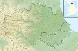 Location of Kilmond Scar SSSI, Co Durham | |
| Website: Map of site | |
Kilmond Scar is a Site of Special Scientific Interest in the Teesdale district of south-west County Durham, England. It lies just south of the A66 road, about 3 km east of the village of Bowes.
Kilmond Scar is a prominent south-facing scarp of Upper Carboniferous Limestone. Its rock ledges and scree slopes support a variety of drought-tolerant flora. Elsewhere, deeper limestone soils support a diversity of calcareous grassland species.[1]
References
- ↑ "Kilmond Scar" (PDF). English Nature. 1986. Archived from the original (PDF) on 22 June 2011. Retrieved 20 July 2010.
This article is issued from
Wikipedia.
The text is licensed under Creative Commons - Attribution - Sharealike.
Additional terms may apply for the media files.