Fairy Holes Cave
| Fairy Holes Cave | |
| Site of Special Scientific Interest | |
| Country | England |
|---|---|
| Region | North East |
| District | Wear Valley |
| Location | NY936357 |
| - coordinates | 54°43′0″N 2°6′0″W / 54.71667°N 2.10000°WCoordinates: 54°43′0″N 2°6′0″W / 54.71667°N 2.10000°W |
| Area | 208.8 ha (516.0 acres) |
| Notification | 1961 |
| Management | Natural England |
| Area of Search | County Durham |
| Interest | Geological |
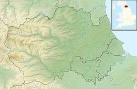 Location of Fairy Holes Cave SSSI, Co Durham | |
| Website: Map of site | |
Fairy Holes Cave is a Site of Special Scientific Interest in the Wear Valley district of west County Durham, England. It is located on the western flanks of Snowhope Moor, on the right bank of Westernhope Burn, some 3 km south-west of the village of Eastgate.
The cave is the longest known stream passage in the Yoredale Limestone of the North Pennines and the best developed example of its type. The Geological Conservation Review classes it as being of national importance.[1]
References
- ↑ "Fairy Holes Cave" (PDF). English Nature. 1991. Archived from the original (PDF) on 22 June 2011. Retrieved 20 July 2010.
This article is issued from
Wikipedia.
The text is licensed under Creative Commons - Attribution - Sharealike.
Additional terms may apply for the media files.