Khazret Sultan
| Khazret Sultan Hazrati Sulton choʻqqisi | |
|---|---|
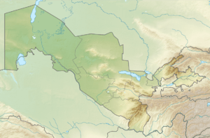 Location in Uzbekistan (on the border with Tajikistan) | |
| Highest point | |
| Elevation | 4,643 m (15,233 ft) [1] |
| Listing | Country high point |
| Coordinates | 38°56′54″N 68°10′20″E / 38.94833°N 68.17222°ECoordinates: 38°56′54″N 68°10′20″E / 38.94833°N 68.17222°E [1] |
| Geography | |
| Location | Tajikistan–Uzbekistan border |
| Parent range | Gissar Range, Pamir Mountains |
Khazret Sultan (in Uzbek Hazrati Sulton choʻqqisi) is a mountain and the highest point of Uzbekistan,[2] with an elevation of 4,643 metres (15,233 ft). It is located on the border between Uzbekistan and Tajikistan, in Surkhandarya Province, in the Uzbek part of the Gissar Range. This mountain was formerly known as Peak of the 22nd Congress of the Communist Party.
See also
References
- 1 2 "Uzbekistan High Point" on Peakbagger Retrieved 2011-10-4.
- ↑ (in English) "Uzbelkistan will publish its own book of records". Moscow: Ferghana News agency,. 18 July 2007. Archived from the original on 27 February 2012.
External links
- (in English) Central Asia Mountain Climbing, Central Asia Mountaineering Agency.
- (in English) Initial Communication of the Republic of Uzbekistan - Geographic Situation and Climate, page 17.
This article is issued from
Wikipedia.
The text is licensed under Creative Commons - Attribution - Sharealike.
Additional terms may apply for the media files.