Jogidaha
| Jogidaha जोगीदह | |
|---|---|
| Neighbourhood | |
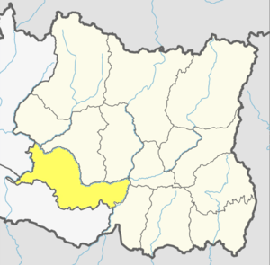
 Jogidaha Location in Nepal  Jogidaha Jogidaha (Nepal) | |
| Coordinates: 26°45′N 86°46′E / 26.75°N 86.77°ECoordinates: 26°45′N 86°46′E / 26.75°N 86.77°E | |
| Country |
|
| Province | Province No. 1 |
| District | Udayapur District |
| Municipality | Triyuga |
| Located in | Ward no. 1 & 2 |
| Established as VDC in | 1990 |
| Incorporated | 10 March 2017 |
| Population (2011) | |
| • Total | 6,665 |
| Time zone | UTC+5:45 (Nepal Time) |
| Postal code | 56300 |
| Area code(s) | 035 |
Jogidaha is a populated place located in Triyuga municipality of Udayapur District in Province No. 1 of Nepal. [1] At the time of 2011 Nepal census it had a population of 6,665 people living in 1,451 individual households. [2]
Previously, Jogidaha was a separate village development committee in Udayapur District of Sagarmatha Zone in Eastern Region. At the time of the 1991 Nepal census it had a population of 4698 people living in 872 individual households.[3]
Fulfilling the requirement of the new Constitution of Nepal 2015, MoFALD replaced all old VDCs and Municipalities into 753 new local level body (Municipality), thus Jogidah was merged with Triyuga Municipality.
See also
References
- ↑ "Triyuga Municipality Introduction" (PDF). Retrieved 5 July 2018.
- ↑ "National Population and Housing Census 2011 (Udayapur)" (PDF). www.cbs.gov.np. Central Bureau of Statics (Nepal). March 2014. Retrieved 5 July 2018.
- ↑ "Nepal Census 2001". Nepal's Village Development Committees. Digital Himalaya. Archived from the original on 12 October 2008. Retrieved 13 November 2008.
External links
This article is issued from
Wikipedia.
The text is licensed under Creative Commons - Attribution - Sharealike.
Additional terms may apply for the media files.