Mountain of Smoke
| Mountain of Smoke (جبل الدخان) | |
|---|---|
 Mountain of Smoke (جبل الدخان) Bahrain | |
| Highest point | |
| Elevation | 134 m (440 ft) [1] |
| Prominence | 134 m (440 ft) [1] |
| Listing | Country high point |
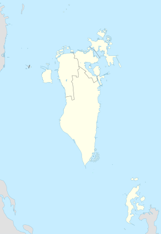
| Coordinates | 26°2′20″N 50°32′35″E / 26.03889°N 50.54306°ECoordinates: 26°2′20″N 50°32′35″E / 26.03889°N 50.54306°E |
| Geography | |
| Location | Bahrain |
The Mountain of Smoke (Arabic: جبل الدخان, Jabal ad Dukhan) is a hill in the Southern Governorate of Bahrain. At 122 m (400 ft) above mean sea level, it is the country's highest point. The Mountain of Smoke is named as such because of the haze which often surrounds it on humid days. A number of caves of indeterminate type are in the vicinity of the mountain.[2]
Flint dating to the Stone Age have been found on and around the hill.[3]
References
- 1 2 "Jabal ad Dukhan" on Peakbagger.com Retrieved 24 September 2011
- ↑ Collins, Lynn. "Life Before the Oil Boom: The way it used to be". Retrieved 2008-09-15. (Archived by the Internet Archive here, archived by WebCite here, Google cache entry here)
- ↑ Rice, Michael (2002). The Archaeology of the Arabian Gulf. Routledge. p. 149. ISBN 9781134967933. Retrieved 17 August 2015.
See also
This article is issued from
Wikipedia.
The text is licensed under Creative Commons - Attribution - Sharealike.
Additional terms may apply for the media files.