Havelian Tehsil
| Havelian Tehsil تحصیل حویلیاں | |
|---|---|
| Tehsil | |
 | |
| Country |
|
| Province | Khyber Pakhtunkhwa |
| District | Abbottabad |
| Headquarters | Havelian |
| Population (2017)[1] | |
| • Tehsil | 351,322 |
| • Urban | 48,295 |
| • Rural | 303,027 |
| Time zone | UTC+5 (PST) |
| Number of towns | 1 |
| Number of Union Councils | 16 |
Havelian Tehsil is an administrative subdivision (tehsil) of Abbottabad District in the Khyber Pakhtunkhwa province of Pakistan.
History
During British rule, the current district of Abbottabad was created as a Tehsil of Hazara District.[2] After the independence of Pakistan it remained a tehsil of Hazara until 1981, when the old Abbottabad Tehsil became a district. Subsequently, the district was split into two tehsils, namely Abbottabad and Havelian.
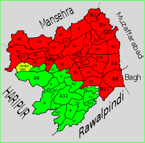
Subdivisions
Municipal Committees
- Havelian (Headquarters)
Cantonments
Union Councils
- Bandi Attaikhan
- Dana Noora Lan
- Danah
- Garhi Phulgran
- Ghamir
- Gorini
- Havelian
- Jhangran
- Kokal
- Langra
- Langrial
- Lora
- Majohan
- Nagri Totial
- Nara
- Rahi
- Rajoya
- Riala
- Sajikot
- Satora
- Seer Gharbi
- Seer Sharqi
- Tajwal
References
- ↑ "DISTRICT AND TEHSIL LEVEL POPULATION SUMMARY WITH REGION BREAKUP: KHYBER PAKHTUNKHWA" (PDF). Pakistan Bureau of Statistics. 2018-01-03. Retrieved 2018-04-17.
- ↑ Abbottābād Tahsīl - Imperial Gazetteer of India, v. 5, p. 1
Coordinates: 33°56′N 73°07′E / 33.933°N 73.117°E
This article is issued from
Wikipedia.
The text is licensed under Creative Commons - Attribution - Sharealike.
Additional terms may apply for the media files.