Esperanza Field
| Esperanza Airport Peñuela Airport | |||||||||||
|---|---|---|---|---|---|---|---|---|---|---|---|
| Summary | |||||||||||
| Airport type | Public | ||||||||||
| Serves | Esperanza, Dominican Republic | ||||||||||
| Elevation AMSL | 328 ft / 100 m | ||||||||||
| Coordinates | 19°35′03″N 70°57′25″W / 19.58417°N 70.95694°WCoordinates: 19°35′03″N 70°57′25″W / 19.58417°N 70.95694°W | ||||||||||
| Map | |||||||||||
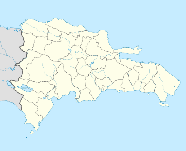 MDES Location of the airport in the Dominican Republic | |||||||||||
| Runways | |||||||||||
| |||||||||||
Esperanza Airport or Peñuela Airport (ICAO: MDES) is an airport 2 kilometres (1.2 mi) east of Esperanza, a city in the Valverde Province of the Dominican Republic.
The Santiago VOR/DME (Ident: SGO) is located 22.6 nautical miles (41.9 km) east-southeast of the airport. The Puerto Plata VOR/DME (Ident: PTA) is located 24.2 nautical miles (44.8 km) east-northeast of Esperanza Airport.[4][5]
See also

- Transport in Dominican Republic
- List of airports in Dominican Republic
References
- ↑ "AIP-Republica Dominicana: AD 1.3-11" (PDF, 129 KB). AIS-Republica Dominicana. 17 January 2008.
- ↑ Airport information for Esperanza Airport at Great Circle Mapper.
- ↑ "Esperanza Airport". Google Maps. Google. Retrieved 26 May 2018.
- ↑ Santiago VOR
- ↑ Puerto Plata VOR
External links
- OpenStreetMap - Esperanza Field
- SkyVector - Penuela Airport
- Accident history for Esperanza-Penuela Airport at Aviation Safety Network
This article is issued from
Wikipedia.
The text is licensed under Creative Commons - Attribution - Sharealike.
Additional terms may apply for the media files.