San Isidro Air Base
| San Isidro Air Base Base Aérea de San Isidro | |||||||||||
|---|---|---|---|---|---|---|---|---|---|---|---|
| Summary | |||||||||||
| Airport type | Military | ||||||||||
| Operator |
| ||||||||||
| Built | 1953 | ||||||||||
| Occupants | Comando Aéreo | ||||||||||
| Elevation AMSL | 111 ft / 34 m | ||||||||||
| Coordinates | 18°30′10″N 69°45′45″W / 18.50278°N 69.76250°WCoordinates: 18°30′10″N 69°45′45″W / 18.50278°N 69.76250°W | ||||||||||
| Map | |||||||||||
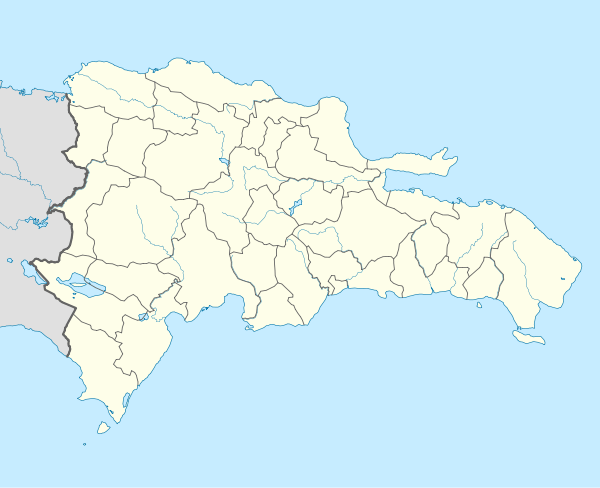 SLRX Location of the airport in the Dominican Republic | |||||||||||
| Runways | |||||||||||
| |||||||||||
The Base Aérea de San Isidro or San Isidro Air Base (ICAO: MDSI) became operational on March 23, 1953 and is located 25 km east of Santo Domingo. It was named Base Aérea Trujillo until 1961, when the name was changed to San Isidro. Most of the units, aircraft, and helicopters of the Dominican Air Force are based there.
The San Isidro track also has been a venue for automobile racing events.
The Punta Caucedo VOR/DME (Ident: CDO) is located 6.8 nautical miles (12.6 km) west of the airport. The San Isidro VOR/DME (Ident: SIS) is located on the field.[3][4]
See also

- Transport in the Dominican Republic
- List of airports in the Dominican Republic
References
- ↑ Airport information for San Isidro Air Base at Great Circle Mapper.
- ↑ "San Isidro Air Base". Google Maps. Google. Retrieved 19 May 2018.
- ↑ Punta Caucedo VOR
- ↑ San Isidro VOR
External links
- OpenStreetMap - San Isidro Air Base
- OurAirports - San Isidro Air Base
- SkyVector - San Isidro Air Base
- FallingRain - San Isidro Air Base Airport
- Accident history for San Isidro Air Base Airport at Aviation Safety Network
This article is issued from
Wikipedia.
The text is licensed under Creative Commons - Attribution - Sharealike.
Additional terms may apply for the media files.