Dajabón Airport
| Dajabón Airport | |||||||||||
|---|---|---|---|---|---|---|---|---|---|---|---|
| Summary | |||||||||||
| Airport type | Public | ||||||||||
| Serves | Dajabón, Dominican Republic | ||||||||||
| Elevation AMSL | 170 ft / 52 m | ||||||||||
| Coordinates | 19°33′55″N 71°40′30″W / 19.56528°N 71.67500°WCoordinates: 19°33′55″N 71°40′30″W / 19.56528°N 71.67500°W | ||||||||||
| Map | |||||||||||
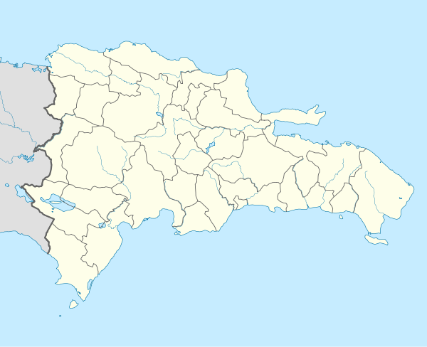 MDDJ Location of the airport in the Dominican Republic | |||||||||||
| Runways | |||||||||||
| |||||||||||
Dajabón National Airport is an airport that serves Dajabón, the capital of Dajabón Province in the western Dominican Republic. The airport is 4 kilometres (2.5 mi) east of the border with Haiti.
The Monte Cristi non-directional beacon (Ident: MTC) is located 18.1 nautical miles (33.5 km) north of the airport. The Cap Haitien VOR (Ident: HCN) is located 30.8 nautical miles (57.0 km) west-northwest of Dajabón Airport.[3][4]
See also

- Transport in Dominican Republic
- List of airports in Dominican Republic
References
- ↑ Airport information for Dajabón Airport at Great Circle Mapper.
- ↑ "Dajabón Airport". Google Maps. Google. Retrieved 27 May 2018.
- ↑ Monte Cristi NDB
- ↑ Cap Haitien VOR
External links
- OpenStreetMap - Dajabón Airport
- SkyVector - Dajabón Airport
- OurAirports - Dajabón Airport
- Accident history for Dajabón Airport at Aviation Safety Network
This article is issued from
Wikipedia.
The text is licensed under Creative Commons - Attribution - Sharealike.
Additional terms may apply for the media files.