Azua Dominican Field
| Azua Dominica Airport | |||||||||||
|---|---|---|---|---|---|---|---|---|---|---|---|
| Summary | |||||||||||
| Airport type | Public | ||||||||||
| Location | Azua, Dominican Republic | ||||||||||
| Elevation AMSL | 122 ft / 37 m | ||||||||||
| Coordinates | 18°25′28″N 70°43′45″W / 18.42444°N 70.72917°W | ||||||||||
| Map | |||||||||||
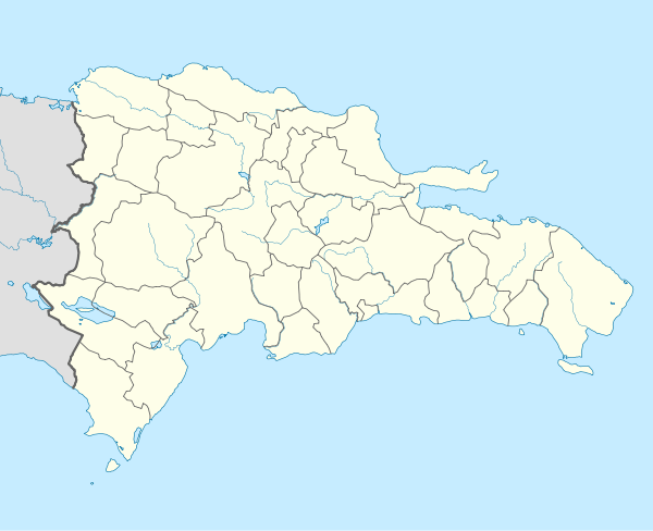 MDAD Location of the airport in the Dominican Republic | |||||||||||
| Runways | |||||||||||
| |||||||||||
Azua Dominica Airport is an airport 2 kilometres (1.2 mi) south of the city of Azua in the Azua Province of the Dominican Republic. It is an old airport that is used only for the emergency landing of domestic flights. This airport has never had regularly scheduled flights, although some airlines have operated charter or tourist flights here.
The Barahona VOR/DME (Ident: BHO) is located 24.9 nautical miles (46.1 km) west-southwest of the airport.[3]
See also


- Transport in Dominican Republic
- List of airports in Dominican Republic
References
- ↑ Airport information for Azua Dominica Airport at Great Circle Mapper.
- ↑ "Azua Dominica Airport". Google Maps. Google. Retrieved 25 May 2018.
- ↑ Barahona VOR
External links
- OpenStreetMap - Azua Dominica Airport
- OurAirports - Azua Airport
- Accident history for Azua Dominica Airport at Aviation Safety Network
This article is issued from
Wikipedia.
The text is licensed under Creative Commons - Attribution - Sharealike.
Additional terms may apply for the media files.