Walterio Field
| Walterio Airport | |||||||||||
|---|---|---|---|---|---|---|---|---|---|---|---|
| Summary | |||||||||||
| Airport type | Public | ||||||||||
| Serves | Monte Cristi, Dominican Republic | ||||||||||
| Elevation AMSL | 33 ft / 10 m | ||||||||||
| Coordinates | 19°45′25″N 71°37′30″W / 19.75694°N 71.62500°WCoordinates: 19°45′25″N 71°37′30″W / 19.75694°N 71.62500°W | ||||||||||
| Map | |||||||||||
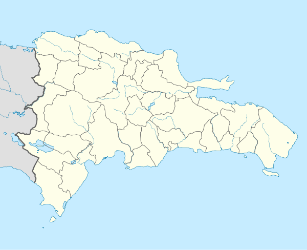 MDWO Location of the airport in the Dominican Republic | |||||||||||
| Runways | |||||||||||
| |||||||||||
Walterio Airport (ICAO: MDSP) is a rural airport 10 kilometres (6.2 mi) south of the coastal city of Monte Cristi, Dominican Republic. It serves private aviation and air sports. Now with the Osvaldo Virgil Airport replacing most of its operations, this airport has been reverted as only a runway.
The Monte Cristi non-directional beacon (Ident: MTC) is located 6.5 nautical miles (12.0 km) north of the airport. The Cap Haitien VOR/DME (Ident: HCN) is located 32.4 nautical miles (60.0 km) west of Walterio Airport.[3][4]
See also

- Transport in Dominican Republic
- List of airports in Dominican Republic
References
- ↑ Airport information for Walterio Airport at Great Circle Mapper.
- ↑ "Walterio Airport". Google Maps. Google. Retrieved 24 May 2018.
- ↑ Cap Haitien VOR
- ↑ Monte Cristi NDB
External links
- OpenStreetMap - Walterio Airport
- SkyVector - Walterio Airport
- OurAirports - Walterio Airport
- Accident history for Walterio Airport at Aviation Safety Network
This article is issued from
Wikipedia.
The text is licensed under Creative Commons - Attribution - Sharealike.
Additional terms may apply for the media files.