Cabo Rojo Airport
| Cabo Rojo Airport Aeródromo Doméstico de Cabo Rojo | |||||||||||
|---|---|---|---|---|---|---|---|---|---|---|---|
| Summary | |||||||||||
| Airport type | Public | ||||||||||
| Operator | Government | ||||||||||
| Serves | Pedernales, Dominican Republic | ||||||||||
| Elevation AMSL | 262 ft / 80 m | ||||||||||
| Coordinates | 17°55′45″N 071°38′45″W / 17.92917°N 71.64583°W | ||||||||||
| Map | |||||||||||
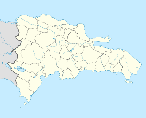 MDCR Location of the airport in the Dominican Republic | |||||||||||
| Runways | |||||||||||
| |||||||||||
Cabo Rojo Airport (Spanish: Aeródromo Doméstico de Cabo Rojo[4]) (IATA: CBJ, ICAO: MDCR) is a Caribbean coastal airport in the Dominican Republic 16 kilometres (9.9 mi) southeast of Pedernales, a port city on the border with Haiti. The airport offers domestic flights to destinations within the Dominican Republic.
West approach and departures are over the water. Runway 12 has a 90 metres (300 ft) displaced threshold.
The Cabo Rojo VOR/DME (Ident: DCR) is located on the field.[5]
See also

- Transport in Dominican Republic
- List of airports in Dominican Republic
References
- ↑ Airport information for Cabo Rojo Airport at World Aero Data. Data current as of October 2006.
- ↑ Airport information for Cabo Rojo Airport at Great Circle Mapper.
- ↑ "Cabo Rojo Airport". Google Maps. Google. Retrieved 27 May 2018.
- ↑ (in Spanish) Aeródromo Doméstico de Cabo Rojo Archived 2008-03-27 at the Wayback Machine., official page
- ↑ Cabo Rojo VOR
External links
- OpenStreetMap - Cabo Rojo Airport
- SkyVector - Cabo Rojo Airport
- OurAirports - Cabo Rojo Airport
- Accident history for Cabo Rojo Airport at Aviation Safety Network
This article is issued from
Wikipedia.
The text is licensed under Creative Commons - Attribution - Sharealike.
Additional terms may apply for the media files.