Derrymacash
Derrymacash
| |
|---|---|
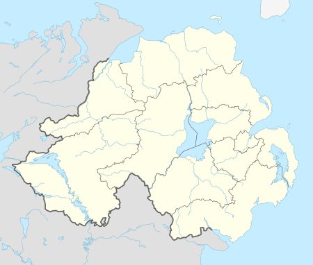 Derrymacash shown within Northern Ireland | |
| Population | 629 (2001) |
| Irish grid reference | J035601 |
| • Belfast | 25 mi (40 km) |
| District | |
| County | |
| Country | Northern Ireland |
| Sovereign state | United Kingdom |
| Post town | CRAIGAVON |
| Postcode district | BT66 |
| Dialling code | 028, +44 28 |
| EU Parliament | Northern Ireland |
| UK Parliament | |
| NI Assembly | |
Derrymacash (from Irish: Doire Mhic Cais, meaning "Oakgrove of MacCash")[1] is a small village and townland in County Armagh, Northern Ireland. It is about four miles west of Lurgan, between the M1 motorway and Lough Neagh. It had a population of 629 in the 2001 Census.
A Catholic church and primary school (both called St Patrick's) are in neighbouring Aghacommon. Many people mistake the townlands of Derrymacash and Aghacommon. Derrymacash starts after one crosses the Closet River, just beyond the M1 bridge, heading towards Lough Neagh.
Places of interest
Near Derrymacash is the nature reserve Oxford Island, which is famed for its peaceful nature trails, bogland, bird hides and many species of wildlife.
Sport
The main sports in Derrymacash are Gaelic football and camogie, represented by the Wolfe Tone and St Enda's teams, respectively, both playing their home games in Páirc na Ropairí.
Demography
Derrymacash is classified as a small village or hamlet by the NI Statistics and Research Agency (NISRA) (i.e. with population between 500 and 1,000 people). On Census day (29 April 2001) there were 629 people living in Derrymacash. Of these:
- 28.0% were aged under 16 years and 9.7% were aged 60 and over
- 53.3% of the population were male and 46.7% were female
- 98.3% were from a Catholic background and 1.7% were from a Protestant background
- 2.5% of people aged 16–74 were unemployed
For fuller details see: NI Neighbourhood Information Service.
References
- ↑ Placenames NI Archived 2012-06-02 at the Wayback Machine.
| Wikimedia Commons has media related to Derrymacash. |
Geography of County Armagh | ||
|---|---|---|
| Cities and towns | 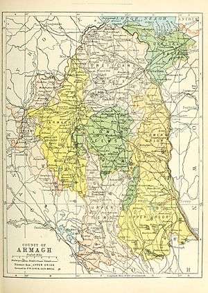 | |
| Villages and townlands |
| |
| Landforms | ||
| Baronies | ||
| ||