Corrinshego
| Corrinshego Cor fhuinnseoige | |
|---|---|
| Townland | |
| Etymology: Round hill of the ash tree | |
 Corrinshego | |
| Coordinates: 54°10′19″N 6°22′44″W / 54.17194°N 6.37889°WCoordinates: 54°10′19″N 6°22′44″W / 54.17194°N 6.37889°W | |
| Irish Grid Reference | J059260 |
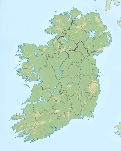
| Country | Ireland |
| Province | Ulster |
| County | Armagh |
| Barony | Orior Lower |
| Area | |
| • Total | 160 km2 (396 acres) |
| Highest elevation | 333 m (1,093 ft) |
| Lowest elevation | 90 m (300 ft) |
| Time zone | UTC+0 (WET) |
| • Summer (DST) | UTC+1 (IST) |
| Postcode | BT35 7LU & BT35 8PR |
Corrinshego (from Irish Cor-fhuinnseoige, meaning 'round hill of the ash tree')[1] is a townland in the Parish of Middle Killeavy, County Armagh, Northern Ireland. It lies 1.6km (1 mile) to the west of Newry in the Newry and Mourne District Council area.
Corrinshego stretches steeply up Camlough Mountain almost to the summit, with all of the area south of the Carrivekeeney Road inside the Ring of Gullion Area of Outstanding Natural Beauty.
Sports
The local GAA club is Thomas Davis GFC, Corrinshego.
Notable people
- John Lynch – Actor, novelist
- Susan Lynch – Actress
References
External links
- Ordnance Survey Ireland
- Griffith's Valuation (1847–1864) for Corrinshigo
- 1901 Irish Census for Corrinshigo
- 1911 Irish Census for Corrinshigo
- OpenStreetMap
- Map of Boundaries
- Ireland Genealogy Projects
- ACEmap plot
- 1:10,000 plot
- Northern Ireland Sites & Monuments Record
- Historic Environment Map Viewer
Geography of County Armagh | ||
|---|---|---|
| Cities and towns | 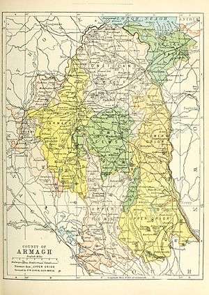 | |
| Villages and townlands |
| |
| Landforms | ||
| Baronies | ||
| ||
This article is issued from
Wikipedia.
The text is licensed under Creative Commons - Attribution - Sharealike.
Additional terms may apply for the media files.