Annaghmore, County Armagh
Annaghmore, County Armagh
| |
|---|---|
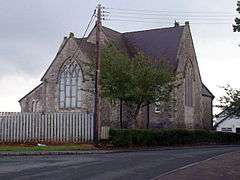 Annaghmore parish church | |
| District | |
| County | |
| Country | Northern Ireland |
| Sovereign state | United Kingdom |
| Postcode district | BT62 |
| Dialling code | 028 |
| EU Parliament | Northern Ireland |
Annaghmore (/ænəˈmɔːr/ ann-ə-MOR; from Irish: Eanach Mór, meaning "great marsh")[1] is a small village and townland (of 786 acres) near Loughgall in County Armagh, Northern Ireland. It is situated in the civil parish of Loughgall and the historic barony of Oneilland West.[2] It is within the Armagh City and District Council area. It had a population of 265 people (93 households) in the 2011 Census.[3] (2001 Census: 255 people)
Places of interest
Ardress House, Annaghmore, was originally a modest farmhouse which was transformed in 1760 by Dublin architect George Ensor. It is run by the National Trust and contains examples of 18th century furniture and a display of paintings. It includes plasterwork in the drawing room made by Michael Stapleton in 1780. The farmyard and outbuildings show aspects of farming history with a display of farm implements. There is a garden with examples of early types of Irish rose. The ‘Ladies Mile’ is a woodland walk around the estate.[4]
The Troubles
Education
- Annaghmore Primary School
- St. Patrick's Primary School
- Orchard County Primary School formed in 2005 after the merging of two local primary schools Annaghmore Primary School and Tullyroan Primary School
Former railway
Annaghmore railway station was opened by the Portadown, Dungannon and Omagh Junction Railway on 5 April 1858. It was closed by the Ulster Transport Authority on 15 February 1965.[5]
Sports
Annaghmore has a GAA club, Annaghmore Pearses GFC (Cumann Phiarsaigh Eanach Mór), founded in 1915.[6][7] The club currently plays in the county Junior football championship.
See also
| Wikimedia Commons has media related to Annaghmore. |
References
- ↑ Placenames NI Archived March 31, 2012, at the Wayback Machine.
- ↑ "Annaghmore". IreAtlas Townlands Database. Retrieved 13 May 2015.
- ↑ "Annaghmore". Census 2011 Results. NI Statistics and Research Agency. Archived from the original on 22 April 2015. Retrieved 22 April 2015.
- ↑ National Trust website on Ardress House
- ↑ "Annaghmore station" (PDF). Railscot - Irish Railways. Archived (PDF) from the original on 26 September 2007. Retrieved 2007-09-08.
- ↑ Annaghmore page on Armagh GAA website Archived April 4, 2014, at the Wayback Machine.
- ↑ List of Armagh GAA clubs
Geography of County Armagh | ||
|---|---|---|
| Cities and towns | 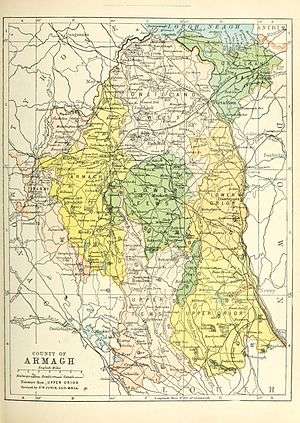 | |
| Villages and townlands |
| |
| Landforms | ||
| Baronies | ||
| ||