Derryadd
Coordinates: 54°29′38″N 6°25′08″W / 54.494°N 6.419°W Derryadd (from Irish Doire Fhada, meaning 'long oak-grove')[1] is a hamlet and townland in County Armagh, Northern Ireland. It is within the Craigavon Borough Council area, on the shores of Lough Neagh. In the 2001 Census it had a population of 201 people.
Ardmore Primary School closed in 2006 due to low pupil numbers.
References
- ↑ Placenames NI Archived 2012-06-02 at the Wayback Machine.
- NI Neighbourhood Information System
- Craigavon Area Plan 2010
Geography of County Armagh | ||
|---|---|---|
| Cities and towns | 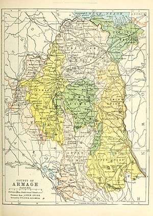 | |
| Villages and townlands |
| |
| Landforms | ||
| Baronies | ||
| ||
This article is issued from
Wikipedia.
The text is licensed under Creative Commons - Attribution - Sharealike.
Additional terms may apply for the media files.