Derryhale
Derryhale
| |
|---|---|
 Boyd's cottage, Derryhale, in 2007 | |
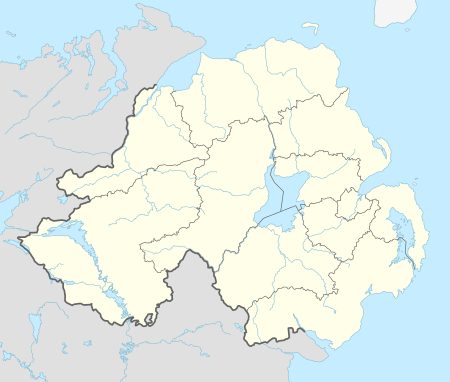 Derryhale Derryhale shown within Northern Ireland | |
| County | |
| Country | Northern Ireland |
| Sovereign state | United Kingdom |
| Postcode district | BT62 |
| Dialling code | 028 |
| EU Parliament | Northern Ireland |
Derryhale (from Irish: Doire Chaol, meaning "narrow oakwood")[1] is a small village and townland (of 834 acres) in County Armagh, Northern Ireland. It lies between Portadown, Richhill and Tandragee. It is situated in the civil parish of Kilmore and the historic barony of Oneilland West.[2] It had a population of 360 people (129 households) in the 2011 Census.[3] (2001 Census: 246 people)
.JPG)
Some of the Derryhale hoard in the Ulster Museum
Archaeology
A Bronze Age hoard was found at Derryhale and included a star-shaped faience bead, knives with ridged tangs and pins.[4]
Education
- Derryhale Primary School
References
- ↑ "Derryhale". Place Names NI. Retrieved 7 May 2015.
- ↑ "Derryhale". IreAtlas Townlands Database. Retrieved 7 May 2015.
- ↑ "Derryhale". Census 2011 Results. NI Statistics and Research Agency. Retrieved 22 April 2015.
- ↑ Flanagan, L (1992). A Dictionary of Irish Archaeology. Dublin: Gill and Macmillan. pp. 32, 135, 174.
|access-date=requires|url=(help)
| Wikimedia Commons has media related to Derryhale. |
External links
Geography of County Armagh | ||
|---|---|---|
| Cities and towns |  | |
| Villages and townlands |
| |
| Landforms | ||
| Baronies | ||
| ||
This article is issued from
Wikipedia.
The text is licensed under Creative Commons - Attribution - Sharealike.
Additional terms may apply for the media files.