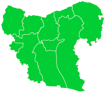
Dabis, Syria
| ad-Dabis الدابس Debis[1] | |
|---|---|
| Village | |
 ad-Dabis Location of ad-Dabis in Syria | |
| Coordinates: 36°42′13″N 37°57′25″E / 36.7036°N 37.9569°E | |
| Country |
|
| Governorate | Aleppo |
| District | Jarabulus |
| Subdistrict | Jarabulus |
| Elevation | 414 m (1,358 ft) |
| Population (2004)[2] | 880 |
| Time zone | UTC+2 (EET) |
| • Summer (DST) | UTC+3 (EEST) |
| Geocode | C2217 |
Dabis (Turkish: Debis,[1] Arabic: الدابس, translit. ad-Dabes) is a village in northern Aleppo Governorate, northern Syria. Situated on the northern Manbij Plain, between Jarabulus and the lower course of Sajur River, the village is located about 8 kilometres (5.0 mi) west of river Euphrates and about 12 km (7.5 mi) south of the border to the Turkish province of Gaziantep.
With 880 inhabitants, as per the 2004 census, Dabis administratively belongs to Nahiya Jarabulus within Jarabulus District.[2] Nearby localities include Ayn al-Bayda 3 km (1.9 mi) to the northeast, Balaban 4 km (2.5 mi) to the south, and Jubb al-Kusa 4 km (2.5 mi) to the southeast.
References
- 1 2 Günümüzde Suriye Türkmenleri (in Turkish) — Suriye’de Değişimin Ortaya Çıkardığı Toplum: Suriye Türkmenleri, p. 12 ORSAM Rapor № 83. ORSAM – Ortadoğu Türkmenleri Programı Rapor № 14. Ankara — November 2011, 33 pages.
- 1 2 "2004 Census Data for Nahiya Jarabulus" (in Arabic). Syrian Central Bureau of Statistics. Retrieved 15 October 2015. Also available in English: UN OCHA. "2004 Census Data". Humanitarian Data Exchange. Retrieved 4 December 2015.
This article is issued from
Wikipedia.
The text is licensed under Creative Commons - Attribution - Sharealike.
Additional terms may apply for the media files.

