Chhatona
| Chhatona छतोना | |
|---|---|
| Village development committee | |
 Black area indicates VDC | |
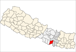
 Chhatona Location in Nepal | |
| Coordinates: 26°47′30″N 85°20′0″E / 26.79167°N 85.33333°ECoordinates: 26°47′30″N 85°20′0″E / 26.79167°N 85.33333°E | |
| Country |
|
| Zone | Janakpur Zone |
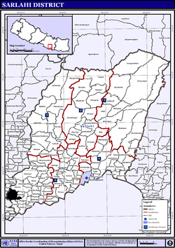
| District | Sarlahi District |
| Population (1991) | |
| • Total | 2,079 |
| Time zone | UTC+5:45 (Nepal Time) |
Chhatona is a village development committee in Sarlahi District in the Janakpur Zone of south-eastern Nepal. At the time of the 1991 Nepal census it had a population of 2079 people living in 428 individual households.[1] Manusmara river flows in this village dividing it into two. Bagmati River is around 4 kilometers from this village. So, it is a flood prone village. Baban Bihari Singh, a politician from Nepali Congress is a native of this village.
References
- ↑ "Nepal Census 2001", Nepal's Village Development Committees, Digital Himalaya, archived from the original on 12 October 2008, retrieved 15 November 2009 .
External links
This article is issued from
Wikipedia.
The text is licensed under Creative Commons - Attribution - Sharealike.
Additional terms may apply for the media files.