Chek Chau
| Native name: 赤洲 | |
|---|---|
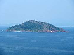 Port Island viewed from Wan Tsai. | |
 Chek Chau | |
| Geography | |
| Coordinates | 22°30′04″N 114°21′32″E / 22.501094°N 114.358975°ECoordinates: 22°30′04″N 114°21′32″E / 22.501094°N 114.358975°E |
| Administration | |
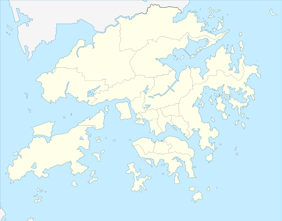
| Districts | Tai Po District |
Port Island
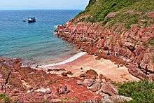
Port Island or Chek Chau (Chinese: 赤洲) is an island of Hong Kong, under the administration of Tai Po District. It is located in Tolo Channel, in the northeastern New Territories. Its name literally means red island; after the sedimentary rocks rich in iron that form this island.
Port Island has been designated as a Site of Special Scientific Interest since 1979.[1]
See also
References
- ↑ List of SSSIs in Hong Kong Archived October 27, 2009, at the Wayback Machine.
External links
| Wikimedia Commons has media related to Port Island, Hong Kong. |
This article is issued from
Wikipedia.
The text is licensed under Creative Commons - Attribution - Sharealike.
Additional terms may apply for the media files.