Birsinghpur
| Birsinghpur | |
|---|---|
| city | |
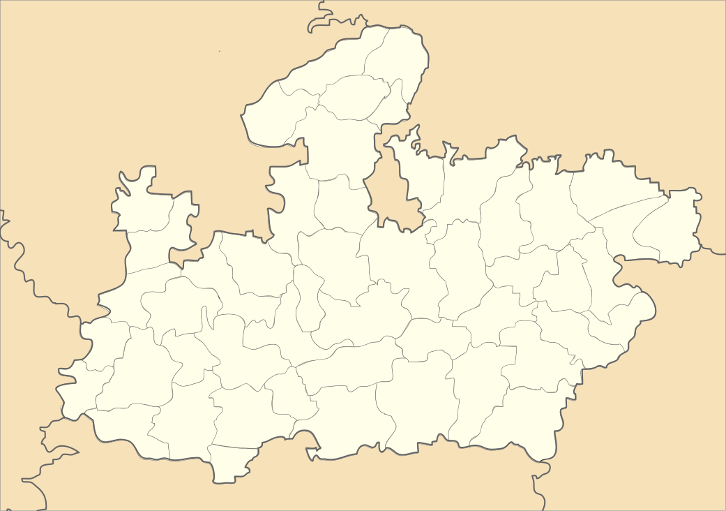
 Birsinghpur Location in Madhya Pradesh, india  Birsinghpur Birsinghpur (India) | |
| Coordinates: 22°48′00″N 80°10′26″E / 22.8°N 80.174°ECoordinates: 22°48′00″N 80°10′26″E / 22.8°N 80.174°E | |
| Country |
|
| State | Madhya Pradesh |
| District | Umriya District |
| Area | |
| • Total | 35 km2 (14 sq mi) |
| Area rank | 1 |
| Population (2014) | |
| • Total | 20,798 |
| • Rank | 3 |
| • Density | 590/km2 (1,500/sq mi) |
| Languages | |
| • Official | Hindi |
| Time zone | UTC+5:30 (IST) |
| PIN | 484552 |
| Telephone code | 07662 |
| Vehicle registration | MP 19 |
| Website |
satna |
Birsinghpur is a municipality in Satna District in the state of Madhya Pradesh, India
Demographics
As of 2014 India census,[1] Birsinghpur had a population of 20,798. Males constituted 51.77% of the population and females 48.23%.
Geography
Birsinghpur is a Nagar Palika on Madhya Pradesh and a tehseel of 356 villages known as Pali. The city area is 43.5 kilometres (27.0 mi) in east, 37.2 kilometres (23.1 mi) is west, 37.9 kilometres (23.5 mi) north and 26.4 kilometres (16.4 mi) south. Birsinghpur is situated on the Shahdol-Katni (NH-78), at a distance of about 39 km from Umaria and 41 km from Shahdol. Another two road goes from Birsinghpur to Rewa via Maihar and second via Manpur at a distance of about 139 kilometres (86 mi). Another road goes from Birsinghpur to Jabalpur, Madhya Pradesh via Dindori District (MP SH-10). Birsinghpur has a 10th century temple of Lord Durga, which is also known the one of 108 Temples.
Infrastructure
There is a government hospital in Birsinghpur. The nearest airport is in Jabalpur. There is also a Government Degree College in Birsinghpur.
See also
References
- ↑ "Census of India 2001: Data from the 2001 Census, including cities, villages and towns (Provisional)". Census Commission of India. Archived from the original on 2004-06-16. Retrieved 2008-11-01.