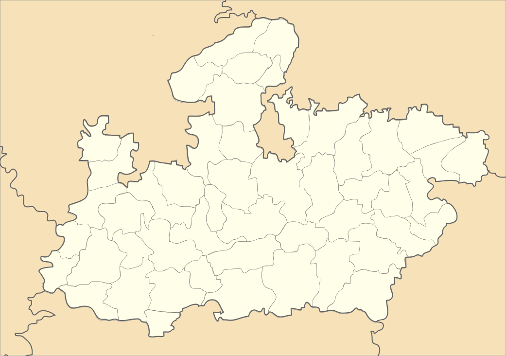
Semaria
| Semariya | |
|---|---|
| village=kumhara-judwani near 8 km in this village around jarmohra dam | |
 Semariya Location Madhya Pradesh Rewa, India | |
| Coordinates: 24°47′42″N 81°9′8″E / 24.79500°N 81.15222°ECoordinates: 24°47′42″N 81°9′8″E / 24.79500°N 81.15222°E | |
| Country |
|
| State | Madhya Pradesh |
| District | Rewa |
| Population (2001) | |
| • Total | 12,325 |
| Languages | |
| • Official | Hindi |
| Time zone | UTC+5:30 (IST) |
Semariya is a town and a nagar panchayat and Legislative Assembly Area in Rewa district in the Indian state of Madhya Pradesh.
Demographics
As of 2001 India census,[1] Semariya had a population of 12,325. Males constitute 54% of the population and females 46%. Semariya has an average literacy rate of 60%, higher than the national average of 59.5%: male literacy is 69%, and female literacy is 49%. In Semariya, 17% of the population is under six years of age.
Semariya has been made Legislative Assembly Area now, there would be a separate MLA for Semariya. Currently it comes under Sirmaur while Block Development Office is still in Sirmaur. Its PIN code is 802125.
Semariya is surrounded by a range of pilgrimage centres like Dharkundi (monks shelter), 15 km, Birshinghpur (ancient Gavinath Shivalinga), 21 km, Chitrakut, 90 km. Basaman Mama (Yaksha God), 11 km, is also a worship place for locals which is situated in bank of the Tons river.
Semariya is the only large market for more than 100 villages in its province. A shopping complex has also been made by Laxman Bag trust, Semariya. It has one government aided YPSPG college for Arts, Science and Commerce faculties and two government higher secondary schools (each for boys and girls), however there are half dozen Private Schools like Sarashwati Shishu Mandir, Gyan Jyoti English School, Gulab Shishu Mandir.
Nirmala Mishra of Bharatiya Janata Party (BJP) is current MLA of Semariya constituency. Ajay Shukla is newly elected Nagar Panchayat Adhyaksha.
References
- ↑ "Census of India 2001: Data from the 2001 Census, including cities, villages and towns (Provisional)". Census Commission of India. Archived from the original on 2004-06-16. Retrieved 2008-11-01.