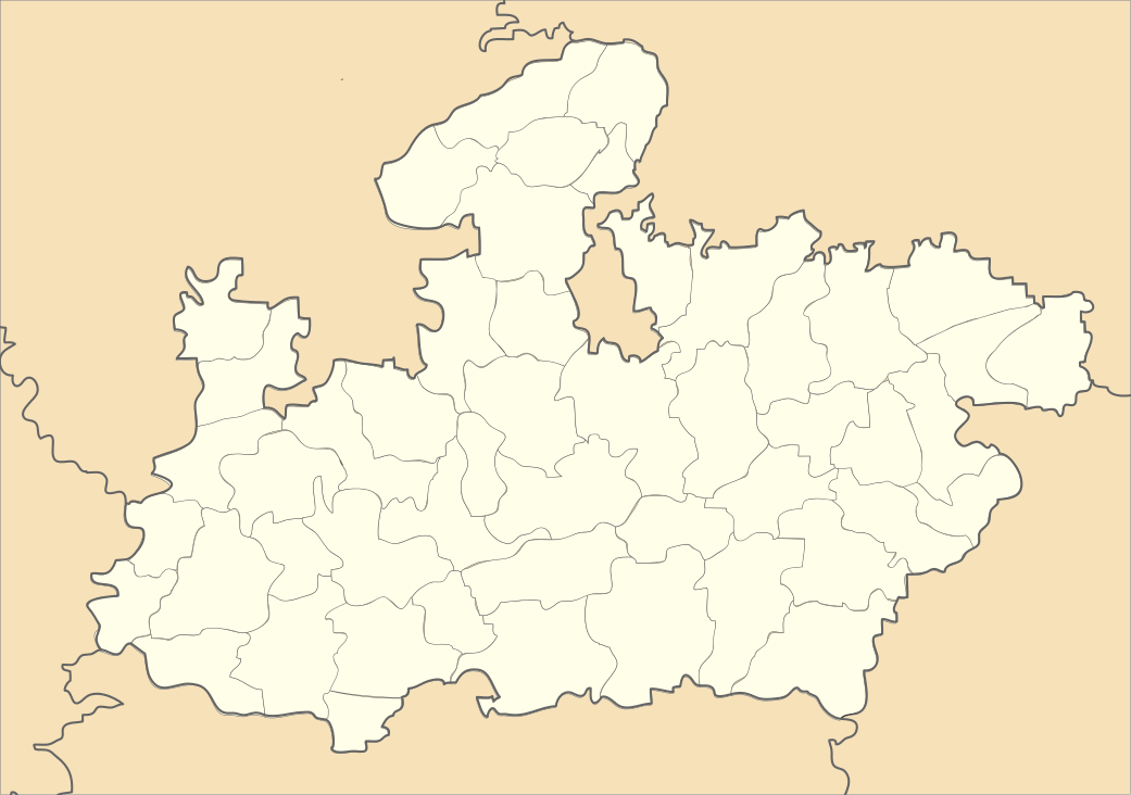
Hanumana, Rewa
| Hanumana | |
|---|---|
| Tehsil | |
 Hanumana Location in Madhya Pradesh, India  Hanumana Hanumana (India) | |
| Coordinates: 24°46′30″N 82°5′24″E / 24.77500°N 82.09000°ECoordinates: 24°46′30″N 82°5′24″E / 24.77500°N 82.09000°E | |
| Country |
|
| State | Madhya Pradesh |
| District | Rewa |
| Population (2001) | |
| • Total | 14,873 |
| Languages | |
| • Official | Hindi, BagheliBagheli |
| Time zone | UTC+5:30 (IST) |
| ISO 3166 code | IN-MP |
| Vehicle registration | MP |
Hanumana is a town and a nagar panchayat in Rewa district in the Indian state of Madhya Pradesh.
Demographics
As of 2001 India census,[1] Hanumana had a population of 14,873. Males constitute 52% of the population and females 48%. Hanumana has an average literacy rate of 53%, lower than the national average of 59.5%: male literacy is 64%, and female literacy is 41%. In Hanumana, 19% of the population is under 6 years of age.
After the year 2000 Hanumana became an education hub for nearby villages however its business hub image went down drastically as all villages now have their own marketplace. Now many people from nearby villages come to Hanumana to pursue an education. Students pursue technical education like Engineering and MBA migrate to other cities within and out of Madhya Pradesh.
Landmarks in the town include a waterfall called Kurwa and a 150-year-old temple, Hanuman Temple. A myth about the temple is that lord Hanuman was born there. The festivals Diwali, Dashra, Rakhi and Holi are widely celebrated.
References
- ↑ "Census of India 2001: Data from the 2001 Census, including cities, villages and towns (Provisional)". Census Commission of India. Archived from the original on 2004-06-16. Retrieved 2008-11-01.