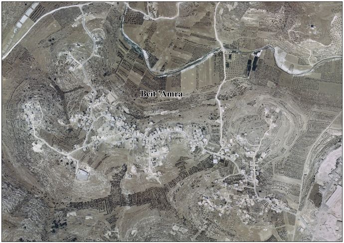
Beit 'Amra
| Beit 'Amra | |
|---|---|
| Other transcription(s) | |
| • Arabic | خربة بيت عمرة |
 Beit 'Amra | |
 Beit 'Amra Location of Beit 'Amra within Palestine | |
| Coordinates: 31°26′53″N 35°03′13″E / 31.44806°N 35.05361°ECoordinates: 31°26′53″N 35°03′13″E / 31.44806°N 35.05361°E | |
| Palestine grid | 155/095 |
| Governorate | Hebron |
| Government | |
| • Type | Village council |
| Population (2007) | |
| • Jurisdiction | 2,165 |
| Name meaning | The ruin of the house of ’Amra[1] |
Beit 'Amra (Arabic: خربة بيت عمرة) is a Palestinian town located twelve kilometers southwest of Hebron.The town is in the Hebron Governorate Southern West Bank. According to the Palestinian Central Bureau of Statistics, the town had a population of 2,165 in 2007.[2]
History
French explorer Victor Guérin visited the place in 1863, which he described as a ruin. He noted that "these ruins extend over a large hill, whose lower parts are provided with sustaining walls. A good many cisterns are cut in the sides of the hill. Several of these are provided with the stones intended to stop the orifice. On all sides are to be seen old subterranean magazines, once belonging to houses now destroyed, the ruins of which are covered with brushwood. The vestiges of two churches, almost completely destroyed, are still visible. They are both built east and west; one occupied the higher part of the town, the other the lower. On the site of the first, among other things, are the fragments of a baptismal font."[3]
In 1883, the Palestine Exploration Fund's Survey of Western Palestine found it to be a "ruined site on a hill, resembling Khurbet 'Aziz in character. Cisterns, ruined walls, shafts of pillars, and lintel stones were observed".[4]
Modern era
After the 1948 Arab-Israeli War, the area was under Jordanian rule. The Jordanian census of 1961 found 119 inhabitants in Beit 'Amra.[5]
After the 1967 Six-Day War, Beit 'Amra (together with the rest of the West Bank) has been under Israeli occupation.
Footnotes
- ↑ From personal name, Amra, according to Palmer, p. 397; a variation of "Omar", see p. 268
- ↑ 2007 PCBS Census Palestinian Central Bureau of Statistics. p.120.
- ↑ Guérin, 1869, p. 208. As translated by Conder and Kitchener, 1883, SWP III, p. 351
- ↑ Conder and Kitchener, 1883, SWP III, p. 351
- ↑ Government of Jordan, Department of Statistics, 1964, p. 22
Bibliography
- Conder, C.R.; Kitchener, H.H. (1883). The Survey of Western Palestine: Memoirs of the Topography, Orography, Hydrography, and Archaeology. 3. London: Committee of the Palestine Exploration Fund.
- Government of Jordan, Department of Statistics (1964). First Census of Population and Housing. Volume I: Final Tables; General Characteristics of the Population (PDF).
- Guérin, V. (1869). Description Géographique Historique et Archéologique de la Palestine (in French). 1: Judee, pt. 3. Paris: L'Imprimerie Nationale.
- Palmer, E.H. (1881). The Survey of Western Palestine: Arabic and English Name Lists Collected During the Survey by Lieutenants Conder and Kitchener, R. E. Transliterated and Explained by E.H. Palmer. Committee of the Palestine Exploration Fund.
External links
- Welcome To Kh. Bayt Amra
- Beit ‘Amra, Welcome to Palestine
- Survey of Western Palestine, Map 21: IAA, Wikimedia commons
- Beit 'Amra Village (Fact Sheet), Applied Research Institute–Jerusalem, ARIJ
- Beit 'Amra Village Profile, ARIJ
- Beit 'Amra Village Area Photo, ARIJ
- The priorities and needs for development in Beit 'Amra village based on the community and local authorities’ assessment, ARIJ
| Cities |
|  |
|---|---|---|
| Towns |
| |
| Villages |
| |
| Refugee camps | ||