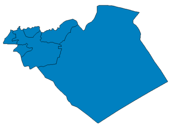
Al-Hamrat
| Al-Hamrat الحمرات | |
|---|---|
 Al-Hamrat Location in Syria | |
| Coordinates: 34°27′20″N 36°53′21″E / 34.45556°N 36.88917°E | |
| Country |
|
| Governorate | Homs |
| District | Homs |
| Subdistrict | Riqama |
| Population (2004) | |
| • Total | 1,624 |
| Time zone | UTC+2 (EET) |
| • Summer (DST) | +3 |
Al-Hamrat (Arabic: الحمرات) is a village in central Syria, administratively part of the Homs Governorate. It is situated in a plain along the western fringes of the Syrian Desert. Nearby localities include the subdistrict center of al-Riqama to the north, Shayrat to the northeast, Sadad to the south, Hisyah to the southwest and Jandar to the northwest. According to the Central Bureau of Statistics (CBS), al-Hamrat had a population of 1,624 in the 2004 census.[1] It has Syria's only Spoonbill breeding colony.[2]
References
- ↑ "General Census of Population 2004". Retrieved 2014-07-10.
- ↑ A Framework for Integrated Wetland Management of Jabbul Agro-Ecosystem. ICARDA. June 2009. p. 12. ISBN 9789291272280.
This article is issued from
Wikipedia.
The text is licensed under Creative Commons - Attribution - Sharealike.
Additional terms may apply for the media files.
