Ain el Safssaf
| Ain el Safssaf عين الصفصاف | |
|---|---|
| City | |
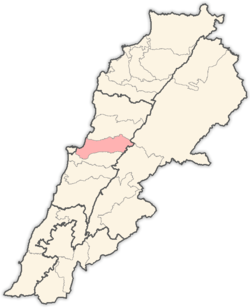
 Ain el Safssaf Location within Lebanon | |
| Coordinates: 33°00′N 35°00′E / 33.000°N 35.000°ECoordinates: 33°00′N 35°00′E / 33.000°N 35.000°E | |
| Country |
|
| Governorate | Mount Lebanon Governorate |
| District | Matn District |
| Government | |
| • Time Zone | GMT +2 (UTC) |
| • - Summer (DST) | +3 (UTC) |
| • Area Code(s) | (+961) 4 |
| Area | |
| • Total | 1.77 km2 (0.68 sq mi) |
| Highest elevation | 1,100 m (3,600 ft) |
| Lowest elevation | 1,000 m (3,000 ft) |
| Time zone | UTC+2 (EET) |
| • Summer (DST) | UTC+3 (EEST) |
| Dialing code | +961 |
Ain el Safssaf (Arabic: عين الصفصاف translit. ʿayn al-ṣafṣaf) (also Ain es-Sofsaf) is a village in the Matn District of the Mount Lebanon Governorate, Lebanon.
Geography
Ain el Safssaf is 31 km to the Capital (Beirut). Elevation is approx. 1050m from sea level.
Demographics
As of 2004, Ain el Safssaf houses a population of 902. Electorate includes 1165 voters. [1]
References and footnotes
- ↑ "LocalLiban - Ain Es Sofsaf". Retrieved December 19, 2009.
External links
Capital: Jdeideh | ||
| Towns and villages |
|  |
| Notable landmarks | ||
| Notable touristic sites | ||
This article is issued from
Wikipedia.
The text is licensed under Creative Commons - Attribution - Sharealike.
Additional terms may apply for the media files.