Aaron Provincial Park
| Aaron Provincial Park | |
| Protected Area | |
| Name origin: Original homestead of John. T. Aaron | |
| Country | Canada |
|---|---|
| Province | Ontario |
| District | Kenora |
| Elevation | 382 m (1,253 ft) |
| Coordinates | 49°45′42.2″N 92°39′23.4″W / 49.761722°N 92.656500°WCoordinates: 49°45′42.2″N 92°39′23.4″W / 49.761722°N 92.656500°W |
| Area | 116 ha (287 acres) |
| Owner | Ontario Parks |
| IUCN category | II - National Park |
 Location of Aaron Provincial Park in Ontario. | |
Aaron Provincial Park is a park in Kenora District, Ontario, Canada, located 26 kilometres (16 mi) east of the community of Dryden. It can be accessed via Ontario Highway 11. Aaron Provincial Park is located on the east end of Thunder Lake.
References
- "Aaron Park Management plan - Aaron Park Management plan" (PDF). Provincial Park Plans. Government of Ontario. Archived from the original (PDF) on 2014-11-12. Retrieved 2014-08-29.
External links
| National parks | 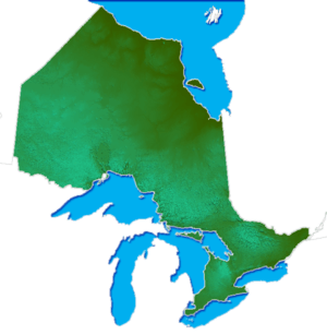 | |
|---|---|---|
| Provincial parks | ||
| Conservation areas | ||
| UNESCO Biosphere Reserves | ||
| National Historic Sites | ||
| Other areas | ||
| Former parks | ||
| ||
This article is issued from
Wikipedia.
The text is licensed under Creative Commons - Attribution - Sharealike.
Additional terms may apply for the media files.