The A4146 is an A-class road in England running from M1 junction 14 at Milton Keynes, around Linslade and Leighton Buzzard to join the new A505 dual carriageway to Dunstable.[1]
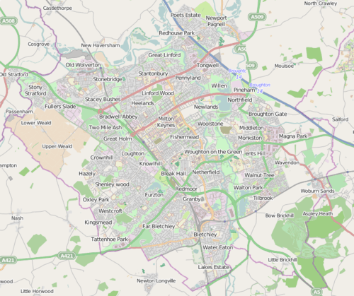
In Milton Keynes, the road briefly follows the H6 Childs Way from Junction 14 of the M1 Motorway before turning south onto the V11 Tongwell Street, west again onto the H10 Bletcham Way and once more to the south where it joins with the A5. It then separates again at the Kelly's Kitchen [2] roundabout as the Milton Keynes bypass south of Fenny Stratford and Bletchley. At the end of this single carriageway bypass, from a point just south of Water Eaton, Milton Keynes, a new alignment has been built for the road to continue west on a short stretch of dual carriageway bypassing Linslade and Stoke Hammond and to hug the West Coast Main Line for most of the way south towards Leighton Buzzard. The route is planned to tie in with a proposed A418 Wing bypass. The new road features five new roundabouts, four over-bridges and three under-passes.The bypass was the focus on an anti-road protest. During the protest two women chained themselves to a digger. They were arrested and charged, but later acquitted.[3]
At a roundabout at the start of the A418 just north of Ascott, the A4146 takes over the former route of the A505 road around the south of Leighton Buzzard. This stretch is partly a three-lane single carriageway and partly a wide two-lane single carriageway. It turns right immediately south of the town onto its old alignment. At this junction, turning south off the A505, the route stops being an A-class road and is re-designated as the B440,[4] through Northall, Edlesborough, crossing the B489 near Ivinghoe, to terminate at Hemel Hempstead's magic roundabout.