2009 Talaud Islands earthquake
 | |
| UTC time | ?? |
|---|---|
| ISC event | |
| USGS-ANSS | |
| Date * | February 11, 2009 (UTC) |
| Origin time * | 17:34 UTC |
| Local date | |
| Local time | |
| Magnitude | 7.2 Mw |
| Depth | 20 km (12 mi) [1] |
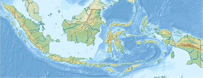
| Epicenter | 3°53′N 126°23′E / 3.89°N 126.39°ECoordinates: 3°53′N 126°23′E / 3.89°N 126.39°E [1] |
| Type | Reverse |
| Max. intensity | VI (Strong) |
| * Deprecated | See documentation. |
The 2009 Talaud Islands earthquake occurred on February 12 at 01:34 local time (February 11, 2009 at 17:34 UTC) near Talaud Islands (Indonesian: Kepulauan Talaud), Indonesia. This reverse-type shock had a moment magnitude of 7.2 and a maximum Mercalli intensity of VI (Strong). There were at least 64 people injured and 597 buildings damaged in Talaud Islands. This earthquake could also be felt in the Philippines.[1]
See also
References
External links
- The International Seismological Centre has a bibliography and/or authoritative data for this event.
This article is issued from
Wikipedia.
The text is licensed under Creative Commons - Attribution - Sharealike.
Additional terms may apply for the media files.