2009 Hualien earthquake
 | |
| UTC time | ?? |
|---|---|
| ISC event | |
| USGS-ANSS | |
| Date * | December 19, 2009 |
| Local date | |
| Local time | |
| Magnitude | 6.4 Mw[1] |
| Depth | 43 km (27 mi)[1] |
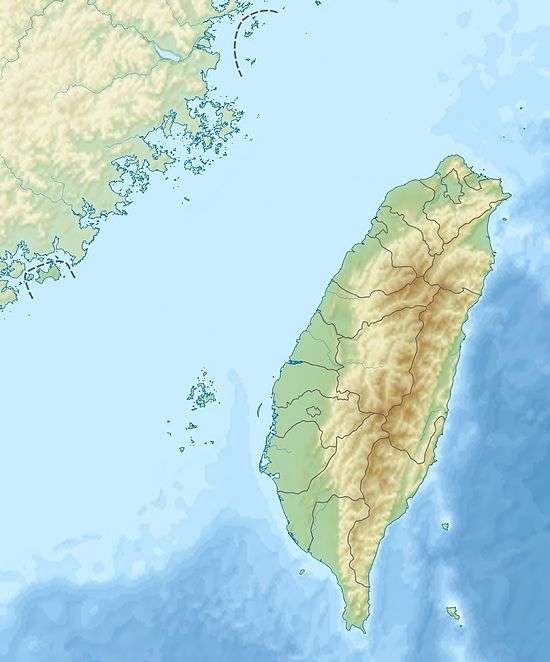
| Epicenter | 23°46′N 121°41′E / 23.76°N 121.69°ECoordinates: 23°46′N 121°41′E / 23.76°N 121.69°E |
| Type | Oblique-slip[1] |
| Areas affected | Taiwan |
| Max. intensity | VI (Strong)[1] |
| Casualties | 14 injured[1] |

Intensity Map
The 2009 Hualien earthquake occurred on December 19 at 21:02:16 (local time) with a moment magnitude of 6.4 and a maximum Mercalli intensity of VI (Strong). The oblique-slip event took place off the coast of Hualian, Taiwan. Strong shaking could be felt in Hualian City (Shindo 5 according to Central Weather Bureau) and Taipei (Shindo 4 according to Central Weather Bureau).[2] The earthquake could also be felt in Hong Kong[3] and Xiamen, China,[4] and on several islands between Yonaguni and Tarama, Japan.[5]
Casualties and damage
Two cars were damaged by fallen water towers in Taipei. Ten people were hospitalized following a chlorine leak in a hotel in Hualian.[6] The outer decorative wall of a restaurant in Hualian collapsed.[7]
See also
References
- 1 2 3 4 5 USGS, M6.4 - Taiwan, United States Geological Survey
- ↑ 交通部中央氣象局 (20 February 2009). "中央氣象局全球資訊網首頁". www.cwb.gov.tw.
- ↑ http://tw.news.yahoo.com/article/url/d/a/091219/1/1x9q3.html%5Bpermanent+dead+link%5D
- ↑ http://udn.com/NEWS/NATIONAL/NATS5/5319094.shtml
- ↑ http://sankei.jp.msn.com/affairs/disaster/091219/dst0912192308018-n1.htm%5Bpermanent+dead+link%5D
- ↑ http://tw.news.yahoo.com/article/url/d/a/091220/17/1xab6.html%5Bpermanent+dead+link%5D
- ↑ "Archived copy". Archived from the original on 2011-07-21. Retrieved 2009-12-20.
External links
- The International Seismological Centre has a bibliography and/or authoritative data for this event.
This article is issued from
Wikipedia.
The text is licensed under Creative Commons - Attribution - Sharealike.
Additional terms may apply for the media files.