2004 Nabire earthquake
  | |
| UTC time | 2004-11-26 02:25:03 |
|---|---|
| ISC event | 7441772 |
| USGS-ANSS | ComCat |
| Local date | 2004-11-26 |
| Local time | |
| Magnitude | 7.1 Mw [1] |
| Depth | 24 km (15 mi) [1] |
| Epicenter | 3°41′S 135°25′E / 3.68°S 135.41°ECoordinates: 3°41′S 135°25′E / 3.68°S 135.41°E [1] |
| Type | Strike-slip [2] |
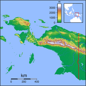
| Areas affected | West Papua |
| Total damage | $55 million [2] |
| Max. intensity | VIII (Severe) [3] |
| Casualties |
32 dead [2] 130–213 injured [2] |
The 2004 Nabire earthquake occurred on November 26 in Papua, Indonesia. The strike-slip event had a moment magnitude of 7.1 and a maximum Mercalli intensity of VIII (Severe). Total deaths for the event amounted to 32, and the total number of injured (as reported by various agencies) was 130–213.
Damage
Dozens of buildings collapsed and nearly two hundred homes, businesses, and a church were lost. Some infrastructure was damaged, including three bridges and a government telecommunications building.[4]
See also
References
- 1 2 3 ISC (2016), ISC-GEM Global Instrumental Earthquake Catalogue (1900–2012), Version 3.0, International Seismological Centre
- 1 2 3 4 USGS (September 4, 2009), PAGER-CAT Earthquake Catalog, Version 2008_06.1, United States Geological Survey
- ↑ National Geophysical Data Center / World Data Service (NGDC/WDS), Significant Earthquake Database, National Geophysical Data Center, NOAA, doi:10.7289/V5TD9V7K
- ↑ Associated Press (November 26, 2004). "Earthquake Strikes Indonesian Island". Daily Chronicle.
External links
- Report on the Nabire Earthquake on 26 November 2004 – Asia Disaster Reduction Center
- M7.1 - Papua, Indonesia – United States Geological Survey
- INDONESIA:NABIRE EARTHQUAKE – IFRC
- The International Seismological Centre has a bibliography and/or authoritative data for this event.
This article is issued from
Wikipedia.
The text is licensed under Creative Commons - Attribution - Sharealike.
Additional terms may apply for the media files.