2006 Banda Sea earthquake
 | |
| UTC time | ?? |
|---|---|
| ISC event | |
| USGS-ANSS | |
| Date * | January 27, 2006 |
| Local date | |
| Local time | |
| Magnitude | 7.6 Mw |
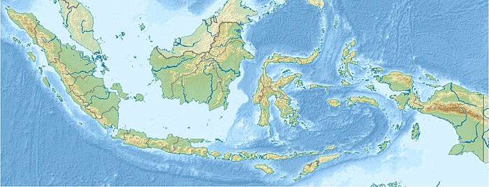
| Epicenter | 5°28′23″S 128°07′52″E / 5.473°S 128.131°ECoordinates: 5°28′23″S 128°07′52″E / 5.473°S 128.131°E |
| Areas affected | Indonesia |
| Max. intensity | V (Moderate) [1] |
The 2006 Banda Sea earthquake occurred in the Banda Sea region, at 16:58 (UTC) on January 27, 2006, with a magnitude of 7.6Mw. The location was 200 km south of Ambon Island, and 445 km north east of Dili, East Timor. Other significant earthquakes occur regularly (2005, 2009 for example), however they are not identified readily due to the isolation of the occurrences, lack of damage to human communities, and dearth of reporting and research. The 2006 Banda Sea earthquake was felt as far away as Northern Australia.
Tectonics
The hypocenter was located at a depth of around 397 km (247 mi). The earthquake occurred as a result of the past subduction of the Australia Plate beneath the Timor Plate at the Timor Trough. Although subduction no longer occurs between these two plates, the subducted Australian Plate nevertheless remains highly seismic.[2]
See also
References
External links
- The International Seismological Centre has a bibliography and/or authoritative data for this event.