Wowan, Queensland
Wowan is a rural town and locality in the Shire of Banana, Queensland, Australia.[2][3] The town of Deeford is also within the locality.[4] In the 2016 census, the locality of Wowan had a population of 216 people.[1]
| Wowan Queensland | |||||||||||||||
|---|---|---|---|---|---|---|---|---|---|---|---|---|---|---|---|
 Wowan | |||||||||||||||
| Coordinates | 23.9069°S 150.1955°E | ||||||||||||||
| Population | 216 (2016 census)[1] | ||||||||||||||
| • Density | 0.9298/km2 (2.408/sq mi) | ||||||||||||||
| Established | 1912 | ||||||||||||||
| Postcode(s) | 4702 | ||||||||||||||
| Area | 232.3 km2 (89.7 sq mi) | ||||||||||||||
| Time zone | AEST (UTC+10:00) | ||||||||||||||
| Location |
| ||||||||||||||
| State electorate(s) | Callide | ||||||||||||||
| Federal Division(s) | Flynn | ||||||||||||||
| |||||||||||||||
Geography
Both towns are located in the north-east of the locality with Wowan at 23.9069°S 150.1956°E and Deeford at 23.9175°S 150.2258°E near a crossing point of the Dee River.[2][4][5]
History
Wowan takes its name from the Wowan railway station, which in turn was named from the Aboriginal word for Australian brush-turkey.[2][3] Deeford was originally known as Dundee, but was renamed Deeford on 6 November 1913 by the Queensland Surveyor-General.[4]
Dundee Provisional School opened on 1 June 1900. It closed in 1904 but reopened in 1905. On 1 January 1909 it became Dundee State School. It closed in 1911.[6]
The Dawson Valley railway line was built from 1910 and by 1912 its first stage of construction had reached the area, terminating at the Wowan railway station on 16 October 1912.[7]
In 1912 two schools opened. One was Dundee Camp Provisional School (in the area that became the town of Wowan), presumably to provide education to the children of the railway workers living in the camp during the construction of the railway. The other was Dundee State School (in what is now Deeford). In 1915 Dundee Camp Provisional School was renamed Wowan Provisional School and on 1 May 1916 became Wowan State School. In 1917 Dundee State School was renamed Deeford State School. Deeford State School closed in 1941.[6]
Woman was settled in 1912. The butter factory opened on 1 April 1919; it was operated by the Dawson Valley Co-operative Company.[8]
On 1 August 1987 the railway line from Kabra to Wowan was closed.[9]
At the 2006 census, Wowan and the surrounding area had a population of 338.[10]
Education
Wowan State School is a government primary (Prep-6) school for boys and girls at Don Street (23.9104°S 150.1938°E).[14][15] In 2017, the school had an enrolment of 33 students with 4 teachers (3 full-time equivalent) and 5 non-teaching staff (3 full-time equivalent).[16]
State Library of Queensland holds a copy of Wowan State School : student registry 1900–1991 in the John Oxley Library.[17]
References
- Australian Bureau of Statistics (27 June 2017). "Wowan (SSC)". 2016 Census QuickStats. Retrieved 20 October 2018.

- "Wowan - town in Shire of Banana (entry 38177)". Queensland Place Names. Queensland Government. Retrieved 25 October 2019.
- "Wowan - locality in Shire of Banana (entry 49581)". Queensland Place Names. Queensland Government. Retrieved 25 October 2019.
- "Deeford - town in Shire of Banana (entry 43961)". Queensland Place Names. Queensland Government. Retrieved 25 October 2019.
- "Queensland Globe". State of Queensland. Retrieved 25 October 2019.
- Queensland Family History Society (2010), Queensland schools past and present (Version 1.01 ed.), Queensland Family History Society, ISBN 978-1-921171-26-0
- Kerr, John (1990). Triumph of narrow gauge : a history of Queensland Railways. Boolarong Publications. p. 118. ISBN 978-0-86439-102-5.
- "THE DAWSON VALLEY. WOWAN BUTTER FACTORY". The Morning Bulletin. Rockhampton, Qld. 26 February 1924. p. 10. Retrieved 8 June 2014 – via National Library of Australia.
- Kerr, John (1990). Triumph of narrow gauge : a history of Queensland Railways. Boolarong Publications. p. 189. ISBN 978-0-86439-102-5.
- Australian Bureau of Statistics (25 October 2007). "Wowan (Banana Shire) (State Suburb)". 2006 Census QuickStats. Retrieved 28 October 2007.
- "Our Town Wowan" (PDF). Retrieved 19 April 2019.
- "Simple Pleasures: Banana Shire" (PDF). The Gladstone Region. Tourism Queensland. p. 3. Archived (PDF) from the original on 15 July 2014. Retrieved 8 June 2014.
- "Wowan Show". Archived from the original on 26 January 2014. Retrieved 8 June 2014.
- "State and non-state school details". Queensland Government. 9 July 2018. Archived from the original on 21 November 2018. Retrieved 21 November 2018.
- "Wowan State School". Retrieved 21 November 2018.
- "ACARA School Profile 2017". Archived from the original on 22 November 2018. Retrieved 22 November 2018.
- "One Search-State Library of Queensland's catalogue". Archived from the original on 8 May 2018. Retrieved 21 January 2018.
External links
- University of Queensland: Queensland Places: Wowan
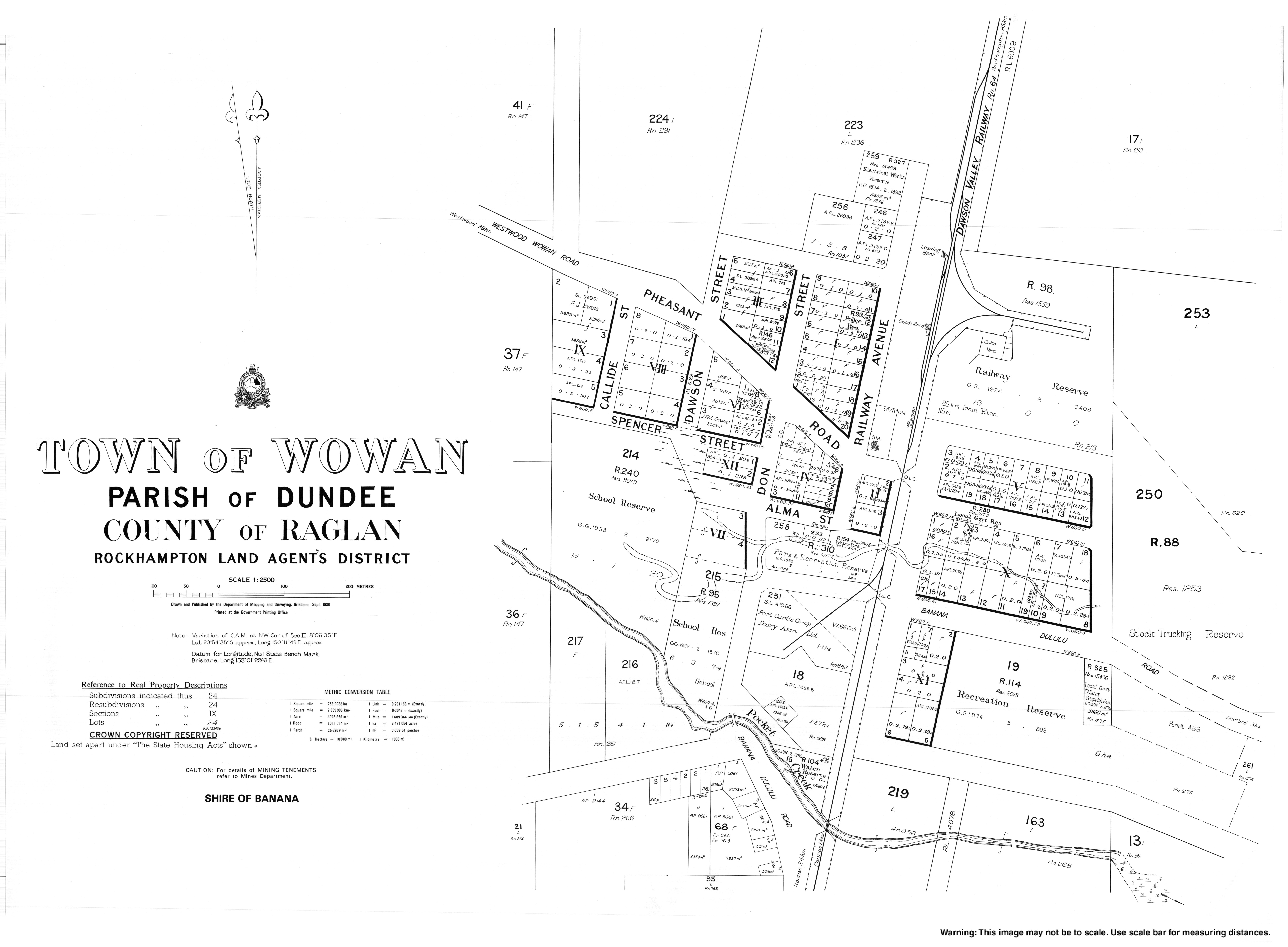
- Town map of Wowan, 1980
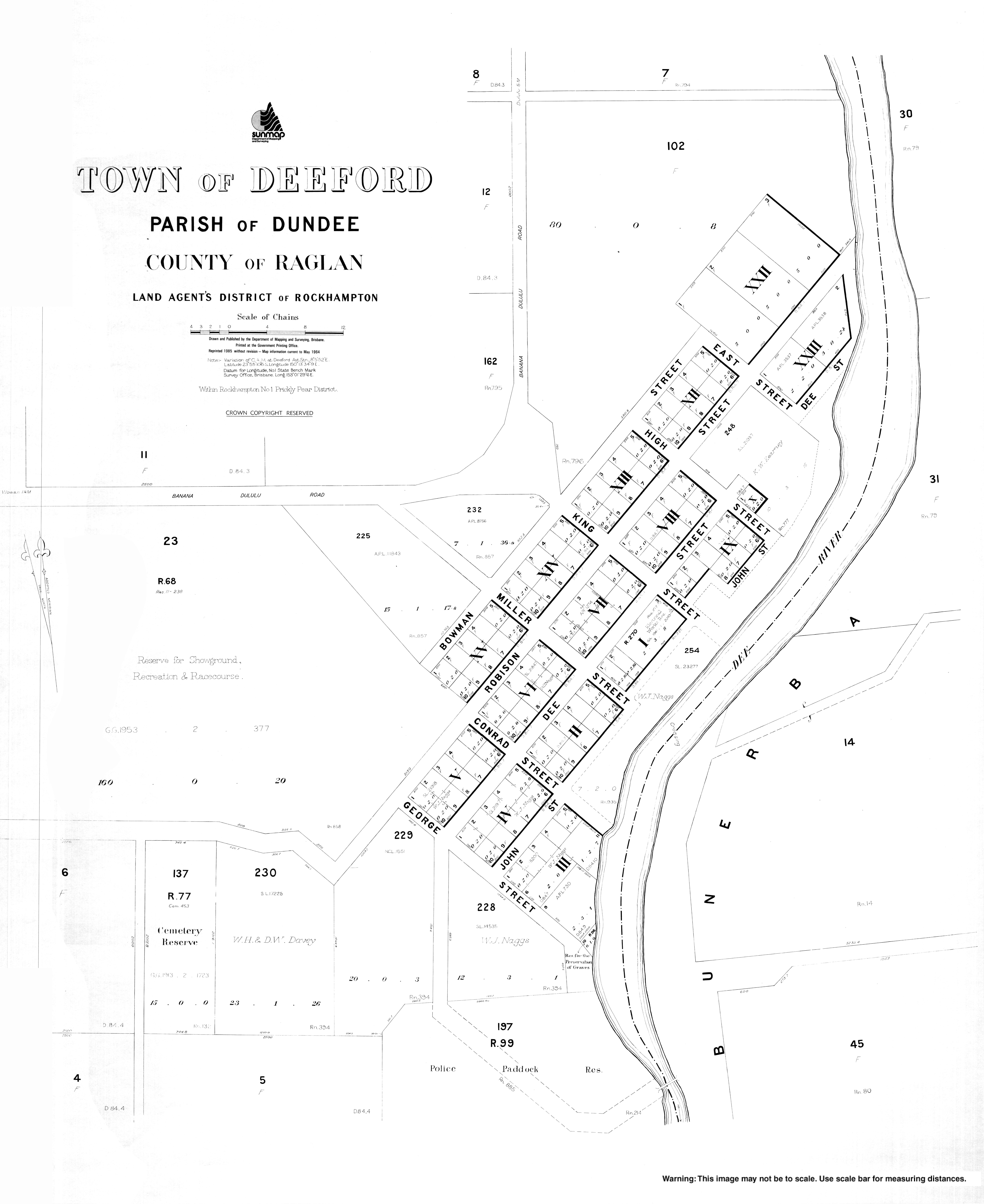
- Town map of Deeford, 1964