Terror Bay
Terror Bay (Inuktitut name: ᐊᒥᑦᕈᖅ Amitruq)[1] is an Arctic waterway in the Kitikmeot Region, Nunavut, Canada. It is located in the south western side of King William Island. The entrance to the bay is marked by Fitzjames Island on the west and Irving Islands to the east. The Bay opens to Queen Maud Gulf.
| Terror Bay | |
|---|---|
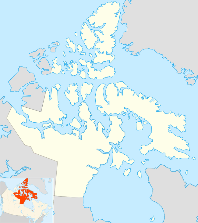 Terror Bay Location in Nunavut | |
| Location | King William Island |
| Coordinates | 68°52′N 98°57′W |
| Native name | ᐊᒥᑦᕈᖅ |
| Ocean/sea sources | Arctic Ocean |
| Basin countries | Canada |
The bay was one of a series of landmarks along the waters explored by Franklin's lost expedition between 1845 and 1848. The bay was named in honor of the two ships of that expedition: HMS Terror and HMS Erebus.[2] The ships entered Baffin Bay in 1845 on their quest to find a Northwest Passage, and were abandoned some time in 1848. Terror Bay was officially named by the Geographical Names Board of Canada in 1910.[3] Inuit oral history provided clues about the ships' demise, but the precise locations of the wrecks were not known for over 160 years.
In 2016, Arctic Research Foundation researchers on board the Martin Bergmann announced that they had found the wreck of HMS Terror in Terror Bay. They had been led there by a tip from Inuk crewman Sammy Kogvik, from Gjoa Haven, who reported seeing a mast protruding from the ice in Terror Bay during a hunting trip in 2010.[4] The wreck of HMS Erebus had been found in 2014.[5]
Terror Bay was named over a century before the wreck of the Terror was found there.
References
- "ᐊᒥᑦᕈᖅ, Amitruq, Bay", Kitikmeot Place Name Atlas, Kitikmeot Heritage Society, retrieved 3 October 2016
- Terror land forms, Geographic Names Board of Canada, Natural Resources Canada
- "Terror Bay", Geographic Names Board of Canada, Natural Resources Canada
- Paul Watson, "Ship found in Arctic 168 years after doomed Northwest Passage attempt", The Guardian, September 12, 2016
- Steve Ducharme, "HMS Terror, Franklin’s second ship, finally found in Nunavut", Nunatsiaq News, September 12, 2016