St. Joseph, Illinois
The Village of St. Joseph was founded on 28 April 1881 and is located in St. Joseph Township, Champaign County, Illinois, United States. The population was 3,967 at the 2010 census and as of 2018, it was an estimated 3,928.[3]
St. Joseph | |
|---|---|
Village | |
 The welcome sign coming in the north side of the village. | |
 Location of St. Joseph in Champaign County, Illinois. | |
 St. Joseph Location within Champaign County 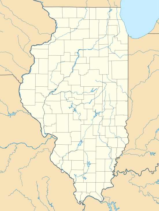 St. Joseph St. Joseph (Illinois) | |
| Coordinates: 40°06′47″N 88°02′15″W | |
| Country | United States |
| State | Illinois |
| County | Champaign |
| Founded | April 28th 1881 |
| Government | |
| • Mayor | Tami Fruhling-Voges |
| Area | |
| • Total | 2.08 sq mi (5.39 km2) |
| • Land | 2.07 sq mi (5.35 km2) |
| • Water | 0.02 sq mi (0.04 km2) |
| Population (2010) | |
| • Total | 3,967 |
| • Estimate (2018)[2] | 3,928 |
| • Density | 1,930.33/sq mi (745.43/km2) |
| Time zone | UTC-6 (CST) |
| • Summer (DST) | UTC-5 (CDT) |
| ZIP Code | 61873 |
| Area code(s) | 217 |
| FIPS code | 17-66950 |
| Website | www |
Geography
St. Joseph is located at St. Joseph, IL (40.112935, -88.037589).[4]
According to the 2010 census, St. Joseph has a total area of 2.14 square miles (5.54 km2), of which 2.12 square miles (5.49 km2) (or 99.07%) is land and 0.02 square miles (0.05 km2) (or 0.93%) is water.[5]
Demographics
As of the census[7] of 2004, there were 3,900 people, 2,014 households, and 1,002 families residing in the village. The population density was 3,024.3 people per square mile (995.0/km²). There were 1,157 housing units at an average density of 1,022.0 per square mile (395.3/km²). The racial makeup of the village was 98.90% White, 0.10% African American, 0.07% Native American, 0.24% Asian, 0.24% from other races, and 0.45% from two or more races. Hispanic or Latino of any race were 0.86% of the population.

There were 1,125 households out of which 40.1% had children under the age of 18 living with them, 65.4% were married couples living together, 6.9% had a female householder with no husband present, and 25.8% were non-families. 22.4% of all households were made up of individuals and 11.3% had someone living alone who was 65 years of age or older. The average household size was 2.58 and the average family size was 3.03.
In the village, the population was spread out with 28.5% under the age of 18, 6.3% from 18 to 24, 33.0% from 25 to 44, 21.4% from 45 to 64, and 10.9% who were 65 years of age or older. The median age was 36 years. For every 100 females, there were 94.5 males. For every 100 females age 18 and over, there were 92.3 males.
The median income for a household in the village was $53,424, and the median income for a family was $61,094. Males had a median income of $40,250 versus $29,450 for females. The per capita income for the village was $21,381. About 2.8% of families and 4.3% of the population were below the poverty line, including 4.0% of those under age 18 and 8.9% of those age 65 or over.
Education
The public high school for this community is St. Joseph-Ogden High School,[8] a school that combines students graduating from St. Joseph Middle School with students graduating from Prairieview-Ogden Junior High, with the majority of students coming from the St. Joseph area. Not all students within Prairieview-Ogden Junior High's district are within the high school's district. Some of these students will fall within the borders of Rantoul, IL or Thomasboro, IL high school districts instead.
Restaurants
There is a mix of chain restaurants and locally owned restaurant in St. Joseph. Chain restaurants include Monical's Pizza, Dairy Queen, Subway, and Casey's Pizza. Locally owned restaurants include Padano's Pizza, Roch's Place, The Wheelhouse, Scratch, and El Toro. The grocery store, IGA, and the newest gas station, Jack Flash, also have fresh delis inside.
Notable people
- Frank Hanly, 26th Governor of Indiana, was born in St. Joseph
References
- "2016 U.S. Gazetteer Files". United States Census Bureau. Retrieved Jun 30, 2017.
- "Population and Housing Unit Estimates". Retrieved October 27, 2019.
- Bureau, U. S. Census. "U.S. Census website". United States Census Bureau. Retrieved 2020-03-31.
- "US Gazetteer files: 2010, 2000, and 1990". United States Census Bureau. 2011-02-12. Retrieved 2011-04-23.
- "G001 - Geographic Identifiers - 2010 Census Summary File 1". United States Census Bureau. Archived from the original on 2020-02-13. Retrieved 2015-12-25.
- "Census of Population and Housing". Census.gov. Retrieved June 4, 2015.
- "U.S. Census website". United States Census Bureau. Retrieved 2008-01-31.
- "SJOHS Home Page". Retrieved 2014-09-17.
External links
- Village Home Page
- Community Arts Resource
- History of St. Joseph, Illinois
- Champaign County Economic Development Corporation - St. Joseph Community Profile
- St. Joseph-Ogden High School
Municipalities and communities of Champaign County, Illinois, United States | ||
|---|---|---|
| Cities | Map of Illinois highlighting Champaign County | |
| Villages | ||
| Townships | ||
| CDPs | ||
| Other unincorporated communities | ||
| Ghost town | ||
| Footnotes | ‡This populated place also has portions in an adjacent county or counties | |