Philo, Illinois
Philo is a village about nine miles south of Urbana[3] in Champaign County, Illinois, United States. The population was 1,466 at the 2010 census.
Philo | |
|---|---|
Village | |
 Philo, Illinois | |
 Location of Philo in Champaign County, Illinois. | |
 Philo Location within Champaign County 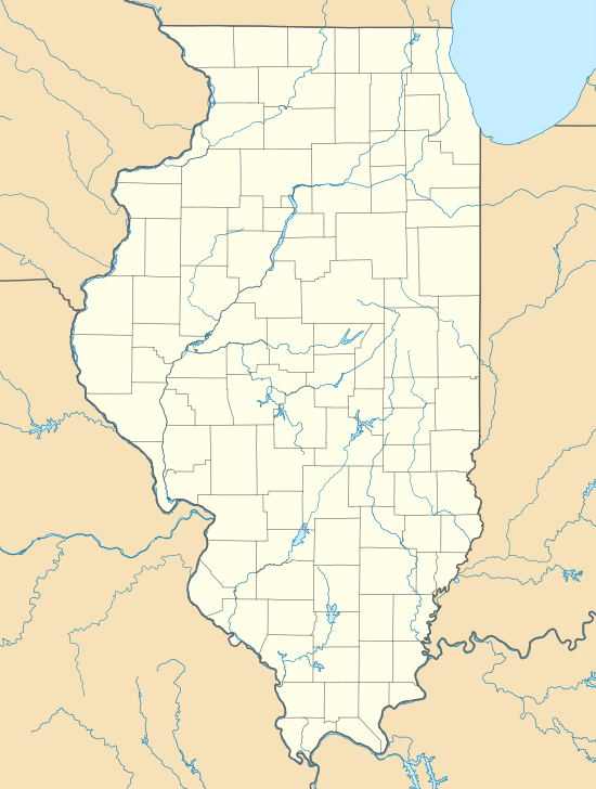 Philo Philo (Illinois) | |
| Coordinates: 40°0′19″N 88°9′23″W | |
| Country | United States |
| State | Illinois |
| County | Champaign |
| Government | |
| • Village President | Larry R. Franks |
| Area | |
| • Total | 0.82 sq mi (2.13 km2) |
| • Land | 0.82 sq mi (2.13 km2) |
| • Water | 0.00 sq mi (0.00 km2) |
| Elevation | 733 ft (223 m) |
| Population (2010) | |
| • Total | 1,466 |
| • Estimate (2018)[2] | 1,424 |
| • Density | 1,750.00/sq mi (675.48/km2) |
| Time zone | UTC-6 (CST) |
| • Summer (DST) | UTC-5 (CDT) |
| Postal code | 61864 |
| Area code(s) | 217 |
| FIPS code | 17-59533 |
| Website | http://villageofphilo.com/ |
Geography
Philo is located at 40°0′19″N 88°9′23″W (40.005359, -88.156483).[4] The legend "Center of the Universe" is painted on the village water tower, along with its zipcode.
According to the 2010 census, Philo has a total area of 0.83 square miles (2.15 km2), all land.[5]
Philo was named after the founder Philo Hale. The main park, which is used for numerous functions including reserved space for family reunions, located on the north end of the village is named after the founder (Hale Park).
Demographics
| Historical population | |||
|---|---|---|---|
| Census | Pop. | %± | |
| 1870 | 291 | — | |
| 1880 | 435 | 49.5% | |
| 1890 | 491 | 12.9% | |
| 1900 | 502 | 2.2% | |
| 1910 | 562 | 12.0% | |
| 1920 | 544 | −3.2% | |
| 1930 | 512 | −5.9% | |
| 1940 | 510 | −0.4% | |
| 1950 | 525 | 2.9% | |
| 1960 | 740 | 41.0% | |
| 1970 | 1,022 | 38.1% | |
| 1980 | 973 | −4.8% | |
| 1990 | 1,028 | 5.7% | |
| 2000 | 1,314 | 27.8% | |
| 2010 | 1,466 | 11.6% | |
| Est. 2018 | 1,424 | [2] | −2.9% |
| U.S. Decennial Census[6] | |||
As of the census[7] of 2000, there were 1,314 people, 474 households, and 381 families residing in the village. The population density was 1,723.4 people per square mile (667.6/km²). There were 492 housing units at an average density of 645.3 per square mile (250.0/km²). The racial makeup of the village was 99.01% White, 0.30% African American, and 0.68% from two or more races. Hispanic or Latino of any race were 0.30% of the population.
There were 474 households out of which 41.4% had children under the age of 18 living with them, 70.5% were married couples living together, 5.9% had a female householder with no husband present, and 19.6% were non-families. 17.1% of all households were made up of individuals and 8.9% had someone living alone who was 65 years of age or older. The average household size was 2.77 and the average family size was 3.13.
In the village, the population was spread out with 30.1% under the age of 18, 6.8% from 18 to 24, 30.8% from 25 to 44, 19.9% from 45 to 64, and 12.4% who were 65 years of age or older. The median age was 35 years. For every 100 females, there were 103.4 males. For every 100 females age 18 and over, there were 100.2 males.
The median income for a household in the village was $56,852, and the median income for a family was $60,365. Males had a median income of $43,125 versus $25,446 for females. The per capita income for the village was $21,502. About 2.3% of families and 3.4% of the population were below the poverty line, including 3.9% of those under age 18 and 5.9% of those age 65 or over.
Education
Philo is in the Unit 7 School District located in nearby Tolono.[8] Residents attend Unity East Elementary, Unity Junior High, and Unity High School.
Philo also has a Catholic Grade School, St. Thomas, for grades pre-K through 8th, and in nearby Champaign is the High School of Saint Thomas More
References
- "2016 U.S. Gazetteer Files". United States Census Bureau. Retrieved Jun 30, 2017.
- "Population and Housing Unit Estimates". Retrieved January 21, 2020.
- Google Maps. Maps.google.com (1970-01-01). Retrieved on 2013-08-17.
- "US Gazetteer files: 2010, 2000, and 1990". United States Census Bureau. 2011-02-12. Retrieved 2011-04-23.
- "G001 - Geographic Identifiers - 2010 Census Summary File 1". United States Census Bureau. Archived from the original on 2020-02-13. Retrieved 2015-12-25.
- "Census of Population and Housing". Census.gov. Retrieved June 4, 2015.
- "U.S. Census website". United States Census Bureau. Retrieved 2008-01-31.
- "Unit Seven Schools - District Information". Unit Seven Schools. Archived from the original on 2012-02-13.
External links
| Wikimedia Commons has media related to Philo, Illinois. |
- Early history of Philo, Illinois
- Daniel Lincicome (1975). Philo Area Centennial 1875-1975. Philo Area Centennial Corporation.
Municipalities and communities of Champaign County, Illinois, United States | ||
|---|---|---|
| Cities | Map of Illinois highlighting Champaign County | |
| Villages | ||
| Townships | ||
| CDPs | ||
| Other unincorporated communities | ||
| Ghost town | ||
| Footnotes | ‡This populated place also has portions in an adjacent county or counties | |
| Authority control |
|
|---|