South Sikkim district
South Sikkim is a district of the Indian state of Sikkim. Its capital is Namchi.
South Sikkim | |
|---|---|
District | |
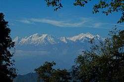 Kangchenjunga and its satellite peaks | |
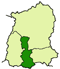 South Sikkim's location in Sikkim | |
| Coordinates: 27°10′N 88°22′E | |
| Country | |
| State | Sikkim |
| Headquarters | Namchi aka Namtse |
| Area | |
| • Total | 750 km2 (290 sq mi) |
| Population (2011) | |
| • Total | 146,850 |
| • Density | 200/km2 (510/sq mi) |
| Time zone | UTC+05:30 (IST) |
| ISO 3166 code | IN-SK |
| Website | southsikkim.nic.in |
Geography
South Sikkim lies at an altitude of 400 to 2000 metres and has a temperate climate for most of the year. Major urban centres include Namchi, Ravangla, Jorethang and Melli.
Assembly Constituencies
The district was previously divided into eight assembly constituencies.
- Barfung (BL)
- Poklok-Kamrang
- Namchi-Singhithang
- Melli
- Namthang-Rateypani
- Temi-Namphing
- Rangang-Yangang
- Tumen-Lingi (BL)
National protected area
Economy
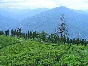
South Sikkim is the most industrialised district in the state, owing to the availability of flat land. Since the geology is stable the roads are in good condition as compared to other parts of the state which suffer from landslides. The district is also known for Sikkim tea, which is grown near Namchi.
Demographics
According to the 2011 census South Sikkim district has a population of 146,850,[1] roughly equal to the nation of Saint Lucia.[2] This gives it a ranking of 600th in India (out of a total of 640).[1] The district has a population density of 196 inhabitants per square kilometre (510/sq mi) .[1] Its population growth rate over the decade 2001-2011 was 11.57%.[1] South Sikkim has a sex ratio of 914 females for every 1000 males,[1] and a literacy rate of 82.06%.[1]
At the time of the 2011 Census of India, 72.66% of the population in the district spoke Nepali, 5.09% Hindi, 3.88% Sikkimese, 3.61% Lepcha, 3.57% Limbu, 3.19% Sherpa, 2.46% Tamang, 1.65% Rai, 0.88% Tibetan and 0.83% Bengali as their first language.[3]
South Sikkim is one of the least populated regions of the state. The people are mainly of Nepali descent. Other ethnic groups include the Lepcha and Bhutia communities. Nepali is the most widely spoken language in the district. The district was under the occupation of the Nepalese for 30 years in the eighteenth and nineteenth centuries.
Flora and fauna
The Maenam Wildlife Sanctuary was established in 1987. It has an area of 35 km2 (13.5 sq mi).[4]
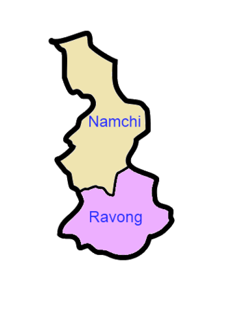
Divisions


References
- "District Census 2011". Census2011.co.in. 2011. Retrieved 30 September 2011.
- US Directorate of Intelligence. "Country Comparison:Population". Retrieved 1 October 2011.
Saint Lucia 161,557 July 2011 est.
- 2011 Census of India, Population By Mother Tongue
- Indian Ministry of Forests and Environment. "Protected areas: Sikkim". Archived from the original on 23 August 2011. Retrieved 25 September 2011.
- Sikkim Administrative Divisions (PDF) (Map). The Registrar General & Census Commissioner, India, New Delhi, Ministry of Home Affairs, Government of India. 2011. Retrieved 29 September 2011.
- "MDDS e-Governance Code (Sikkim Rural)" (PDF). Office of the Registrar General & Census Commissioner, India. 2011. Retrieved 15 October 2011.
External links
| Wikimedia Commons has media related to South Sikkim. |
- Official district government website

Places adjacent to South Sikkim district | ||||||||||
|---|---|---|---|---|---|---|---|---|---|---|
| ||||||||||
| Topics | |
|---|---|
| Administration |
|
| Districts | |
| Towns | |
| Rivers | |
| Lakes |
|
| Glaciers | |
| See also | |