Palavanthangal
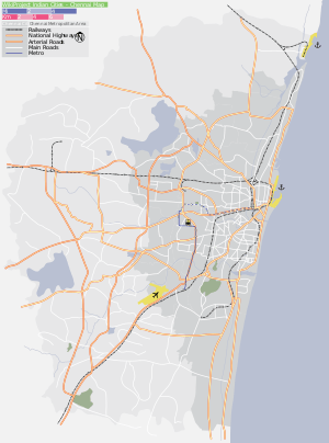
Pazhavanthangal (also called Palavanthangal) is a southern neighbourhood of Chennai, India. It is served by the Pazhavanthangal railway station of the Beach-Tambaram suburban railway route in Chennai. It is one of the neighborhoods that is very close to the Chennai International Airport.
Palavanthangal | |
|---|---|
neighbourhood | |
| Nickname(s): pallavanthangal | |
 Palavanthangal  Palavanthangal  Palavanthangal | |
| Coordinates: 12.989537°N 80.186291°E | |
| Country | India |
| State | Tamil Nadu |
| District | Chennai |
| Metro | Chennai |
| Government | |
| • Body | Greater Chennai Corporation |
| Languages | |
| • Official | Tamil |
| Time zone | UTC+5:30 (IST) |
| PIN | 600114 |
| Vehicle registration | TN-22 |
| Planning agency | CMDA |
| Civic agency | Greater Chennai Corporation |
Named after the small settlement with the same name adjoining the station, the railway station also caters to the bigger region of Nanganallur. This station came into being in the 1970s and lies between St. Thomas Mount and Meenambakkam railway stations. This serves as the railway node to the famous Vembuli Amman koil, Rajarajeshwari koil and the 32 feet Anjaneyar Temple and the adjoining temples of Nanganallur. Close to it is the Palavanthangal subway which serves as the main road entry to Nanganallur from the GST Road.
Palavanthangal was anglicised from its original name Pallavan Thaangal. The area and its neighborhoods were ruled by Pallava rulers; there was a water tank which was dug by one of the Pallava rulers during his regime. The place around the water tank was called thaangal in Tamil. As it was built by a Pallava king, the place was known as Pallavanthaangal. The area is one of many settlements of Kamma Naidu during the reign of king Krishnadevarayar.
An Air India colony, a quarter for the employees of Air India, the Kendriya Vidyalaya School and the Trident Hotel are all located near Pazhavanthangal station.
References
Areas of Chennai | |
|---|---|
| North |
|
| West |
|
| Central |
|
| South |
|