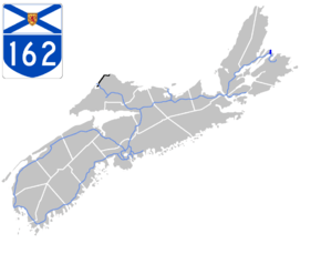
Nova Scotia Highway 162
Highway 162 is a two-lane controlled access highway on Boularderie Island in Nova Scotia, Canada.
| ||||
|---|---|---|---|---|
 | ||||
| Route information | ||||
| Maintained by Nova Scotia Department of Transportation and Infrastructure Renewal | ||||
| Length | 8.39 km[1] (5.21 mi) | |||
| Major junctions | ||||
| South end | ||||
| North end | Point Aconi | |||
| Highway system | ||||
| Provincial highways in Nova Scotia 100-series
| ||||

Highway 162 was constructed in the late 1970s to link Highway 105 in Bras d'Or to the now-closed Prince Mine at Point Aconi. In the early 1990s the highway was extended another 2 kilometres to terminate at the Point Aconi Generating Station. The highway is 8 kilometres (5 mi) long, there is one intersection on the highway near the old Prince Mine site that connects to Point Aconi Road.
Major intersections
The entire route is located in Cape Breton Regional Municipality.
| Location | km[2] | mi | Destinations | Notes | |
|---|---|---|---|---|---|
| Bras d'Or | 0.0 | 0.0 | Southern terminus; at-grade; Hwy 105 exit 17 | ||
| | 7.3 | 4.5 | Prince Mine Road | ||
| Point Aconi | 8.4 | 5.2 | Point Aconi Road | Northern terminus | |
| 1.000 mi = 1.609 km; 1.000 km = 0.621 mi | |||||
References
- Traffic Engineering and Road Safety - Census Team (2018). "Traffic Volumes - Primary Highway System - 2008 to 2017" (PDF). Transportation and Infrastructure Renewal. Halifax, NS: Government of Nova Scotia. p. 173. Retrieved March 16, 2020.
- Google (March 16, 2020). "Nova Scotia Highway 162" (Map). Google Maps. Google. Retrieved March 16, 2020.
This article is issued from Wikipedia. The text is licensed under Creative Commons - Attribution - Sharealike. Additional terms may apply for the media files.