Morkalla, Victoria
Morkalla is a locality situated at the farthest west point on the Redcliffs-Meringur Road in the Sunraysia region. It is situated about 31 kilometres south east from Yamba in South Australia and 9 kilometres west from Karween. It also lies 11 kilometres due south of the Sturt Highway.
| Morkalla Victoria | |||||||||||||||
|---|---|---|---|---|---|---|---|---|---|---|---|---|---|---|---|
 Morkalla | |||||||||||||||
| Coordinates | 34°22′16″S 141°10′8″E | ||||||||||||||
| Postcode(s) | 3496 | ||||||||||||||
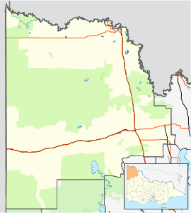
| Location | |||||||||||||||
| LGA(s) | Rural City of Mildura | ||||||||||||||
| Region | Sunraysia | ||||||||||||||
| State electorate(s) | Mildura | ||||||||||||||
| Federal Division(s) | Mallee | ||||||||||||||
| |||||||||||||||
The area was settled by returned servicemen after World War I. The railway was extended to Morkalla in 1931. The passenger facilities were removed in 1939, and the line closed in 1964 after only being used to transport wheat for many years.[2]
References
- Travelmate
- Andrew Waugh (March 2003). "Redcliffs - Meringur" (PDF). Victorian Signalling Histories No 58, Version 1.0. p. 7. Retrieved 24 June 2014.
This article is issued from Wikipedia. The text is licensed under Creative Commons - Attribution - Sharealike. Additional terms may apply for the media files.