Beverford, Victoria
Beverford is a locality situated in the Sunraysia region. The place by road, is situated about 5 kilometres north west from Tyntynder South and 8 kilometres south east from Vinifera. At the 2011 census, Beverford and the surrounding area had a population of 372.[1]
| Beverford Victoria | |||||||||||||||
|---|---|---|---|---|---|---|---|---|---|---|---|---|---|---|---|
 Beverford | |||||||||||||||
| Coordinates | 35°14′16″S 143°28′54″E | ||||||||||||||
| Population | 372 (2011 census)[1] | ||||||||||||||
| Postcode(s) | 3590 | ||||||||||||||
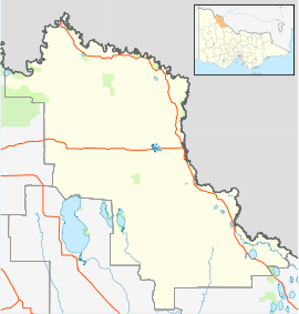
| Location |
| ||||||||||||||
| LGA(s) | Rural City of Swan Hill | ||||||||||||||
| State electorate(s) | Murray Plains | ||||||||||||||
| Federal Division(s) | Mallee | ||||||||||||||
| |||||||||||||||
Beverford Post Office opened on 23 July 1923.[3]
Notes and references
- Australian Bureau of Statistics (31 October 2012). "Beverford (State Suburb)". 2011 Census QuickStats. Retrieved 6 December 2014.

- Travelmate Archived 24 March 2007 at the Wayback Machine
- Premier Postal History, Post Office List, retrieved 11 April 2008
This article is issued from Wikipedia. The text is licensed under Creative Commons - Attribution - Sharealike. Additional terms may apply for the media files.