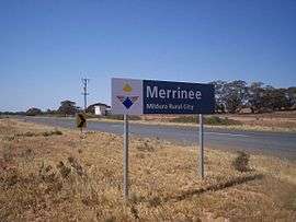
Merrinee, Victoria
Merrinee is a locality situated in the Sunraysia region. It is situated about 7 kilometres west of Pirlta and 11 kilometres east of Karawinna, on the Red Cliffs-Meringur Road.

Defunct silo in Merrinee.
| Merrinee Victoria | |||||||||||||||
|---|---|---|---|---|---|---|---|---|---|---|---|---|---|---|---|
 Merrinee | |||||||||||||||
 Merrinee | |||||||||||||||
| Coordinates | 34°22′17″S 141°48′03″E | ||||||||||||||
| Postcode(s) | 3496 | ||||||||||||||
| Location | |||||||||||||||
| LGA(s) | Rural City of Mildura | ||||||||||||||
| Region | Sunraysia | ||||||||||||||
| State electorate(s) | Mildura | ||||||||||||||
| Federal Division(s) | Mallee | ||||||||||||||
| |||||||||||||||
The Morkalla railway line opened on 10 April 1924 with a goods, grain and passenger siding,[2] followed by the post office on 30 May 1924.[3] The railway closed in 1988.
The general area contains a number of previous localities which existed when the population was larger, namely Thurla 34°22′S 142°06′E which had a post office open from 1925 until 1940, Benetook 34°22′00″S 142°00′00″E with a post office from 1925 until 1946 and Pirlta 34°21′55″S 141°53′59″E with a post office from 1911 until 1961.[3]
References
- Travelmate Archived 25 March 2007 at the Wayback Machine
- Andrew Waugh (March 2003). "Redcliffs - Meringur" (PDF). Victorian Signalling Histories No 58, Version 1.0. Retrieved 16 June 2014.
- Premier Postal History, Post Office List, retrieved 11 April 2008
This article is issued from Wikipedia. The text is licensed under Creative Commons - Attribution - Sharealike. Additional terms may apply for the media files.