La Calera, Cundinamarca
La Calera is a municipality and town of Colombia in the Guavio Province, part of the department of Cundinamarca. La Calera is a common weekend destination, mainly for the many restaurants, as it is approximately 18 kilometres (11 mi) over land from Bogotá, the capital city of Colombia. La Calera is located in the Eastern Ranges of the Colombian Andes, east of the capital and overlooking part of it. La Calera borders Guasca, Sopó and Chía in the north, Guasca in the east, Bogotá in the west and Choachí and Bogotá in the south.[1]
La Calera | |
|---|---|
Municipality and town | |
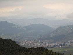 La Calera viewed from a mountain to the west, just before a storm | |
.svg.png) Flag .svg.png) Seal | |
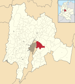 Location of the municipality and town of La Calera in Colombia | |
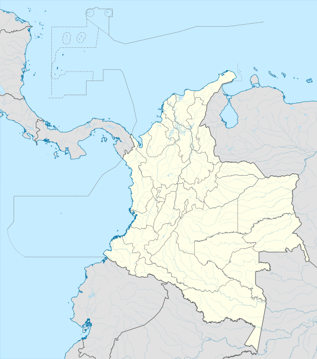 La Calera Location in Colombia | |
| Coordinates: 4°45′11″N 73°55′12″W | |
| Country | |
| Department | |
| Province | Guavio Province |
| Founded | 16 December 1772 |
| Founded by | Pedro de Tovar y Buendía |
| Government | |
| • Mayor | Ana Lucía Escobar Vargas (2016-2019) |
| Area | |
| • Municipality and town | 317 km2 (122 sq mi) |
| • Urban | 1.44 km2 (0.56 sq mi) |
| Elevation | 2,718 m (8,917 ft) |
| Population (2015) | |
| • Municipality and town | 27,527 |
| • Density | 87/km2 (220/sq mi) |
| • Urban | 11,849 |
| Time zone | UTC-5 (Colombia Standard Time) |
| Website | Official website |
History
The area of La Calera was before the Spanish conquest inhabited by the Muisca. La Calera, just behind the mountains bordering Bacatá was ruled by the zipa based in the southern capital.
Modern La Calera was founded on December 16, 1772 by Pedro de Tovar y Buendía.[1]
Economy
Main economical activity in La Calera is cement mining. The geological formation outcropping in the municipality is the Guaduas Formation.[1]
Born in La Calera
- Israel Corredor, former professional cyclist
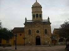
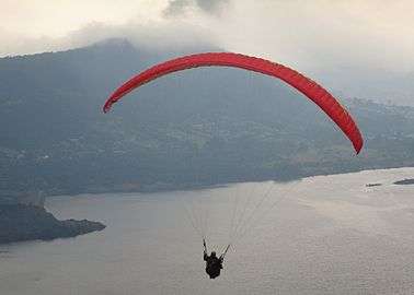
Gallery
References
- (in Spanish) Official website La Calera Archived 2015-05-16 at Archive.today
| Wikimedia Commons has media related to La Calera, Colombia. |